Client Data Integration & CAD Conversion
Client-Provided Data
NG Net PLLC can work with information already collected or developed by the client or another consultant.
Typical source information may include:
- DWG
- DGN
- DXF
- RCP
- E57
- LAS
- Point and coordinate files
- Survey field data
- GIS information
- PDF plans
- Redlines and markups
- Existing CAD drawings
The available information can be reviewed before work begins to determine an appropriate production workflow and final deliverable.
CAD Conversion & Project Support
Projects frequently involve information originating from different software platforms and organizations.
NG Net PLLC can assist with:
- DWG / DGN coordination
- CAD file conversion
- Coordinate-system review
- Drawing cleanup
- Layer and level organization
- Reference-file management
- Point-cloud coordination
- Survey data integration
- PDF production
- Deliverable organization
- CAD QA/QC
When required, work can be prepared according to the client’s existing CAD standards rather than imposing a separate NG Net workflow.
Share:
Civil 3D, MicroStation & OpenRoads Designer Drafting
October 20, 2026
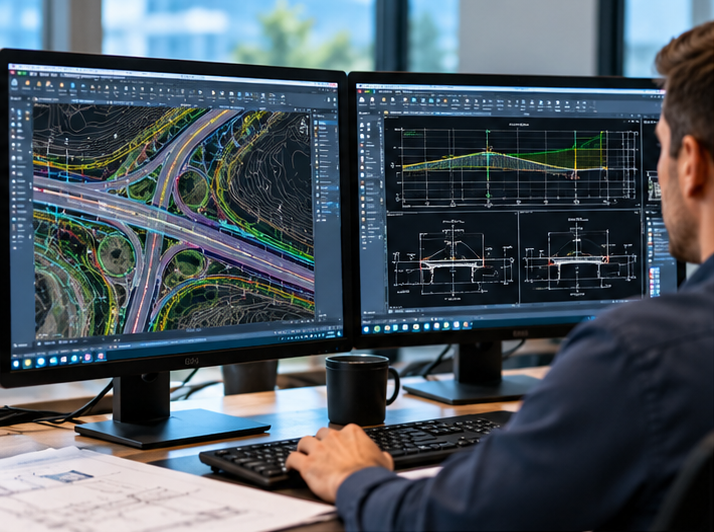
NG Net PLLC provides professional CAD drafting and production support using Autodesk Civil 3D, Bentley MicroStation, and OpenRoads Designer (ORD).
We assist surveying, engineering, and construction teams with existing-condition drawings, topographic mapping, construction and as-built drafting, surfaces, contours, profiles, cross sections, and infrastructure exhibits.
Our CAD production can follow client-provided templates, drawing standards, layers, levels, reference files, and deliverable requirements.
Survey & Point-Cloud-to-CAD Production
October 20, 2026
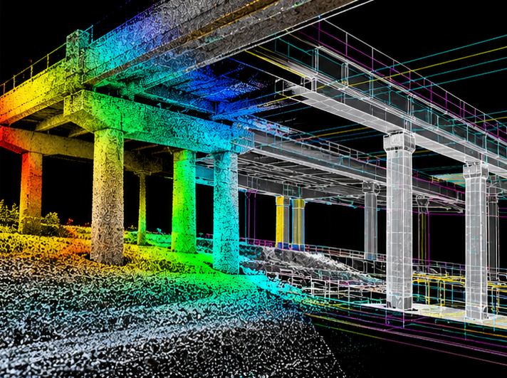
Transform survey observations and reality-capture datasets into practical CAD deliverables.
NG Net PLLC processes GNSS and total-station data, field-coded survey information, terrestrial laser scans, and point clouds to develop survey linework, existing-condition drawings, terrain surfaces, cross sections, profiles, and as-built documentation.
We combine surveying knowledge with geospatial processing to support accurate interpretation, georeferencing, and quality control of field measurements and point-cloud information.
Flexible CAD Production & Project Support
October 20, 2026
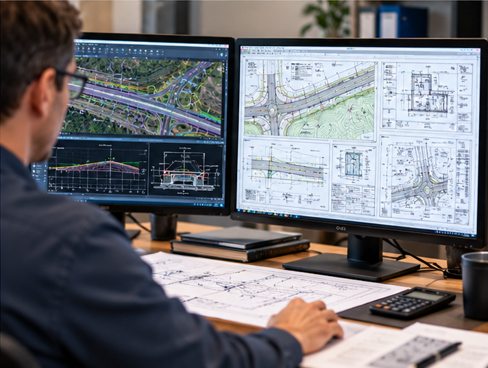
NG Net PLLC offers flexible CAD drafting and geospatial production support for surveying firms, engineering consultants, contractors, and infrastructure project teams.
Whether you need assistance with a single drawing, temporary production capacity, project revisions, survey-to-CAD processing, or ongoing CAD support, our services can be tailored to your requirements.
We can work remotely with client-provided project files, CAD standards, and technical instructions, helping your team maintain production schedules without expanding permanent staffing.