Reality Capture & LiDAR Services
Complete Reality Capture Services
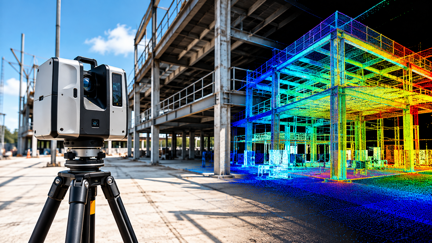

NG NET PLLC provides complete reality capture services, from field data collection and 3D laser scanning to point-cloud processing, verification, and delivery. Each project is planned around its accuracy requirements, site conditions, survey control, and intended use.
Point Cloud Processing & QA/QC
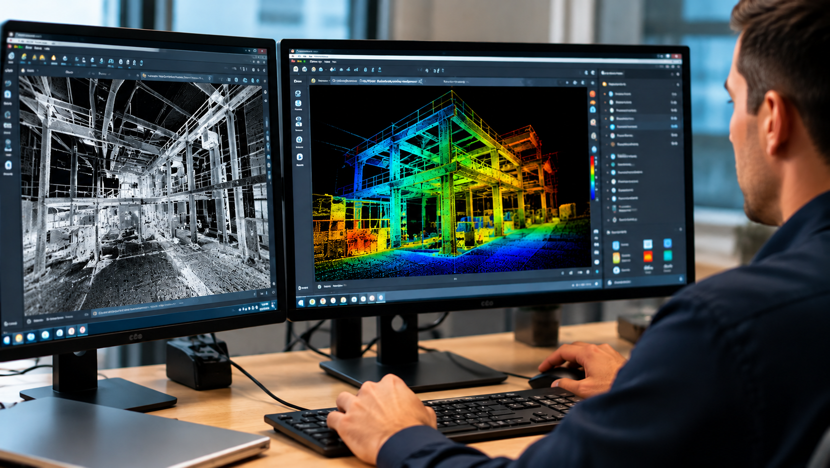
Already have laser scanning or point-cloud data? NG NET PLLC provides point-cloud processing, registration, georeferencing, quality control, and data preparation. We work with client-provided terrestrial LiDAR, mobile mapping, and aerial datasets to produce reliable, project-ready deliverables.
Point Cloud Feature Extraction
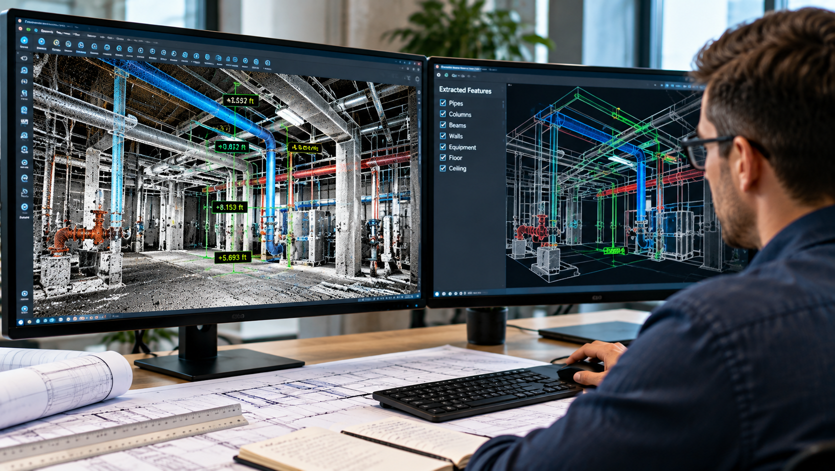
Transform point-cloud data into useful project information. NG NET PLLC extracts measurements, elevations, sections, profiles, clearances, and existing-condition features from LiDAR datasets to support engineering, surveying, construction, and facility management projects.
Reality Capture Consulting
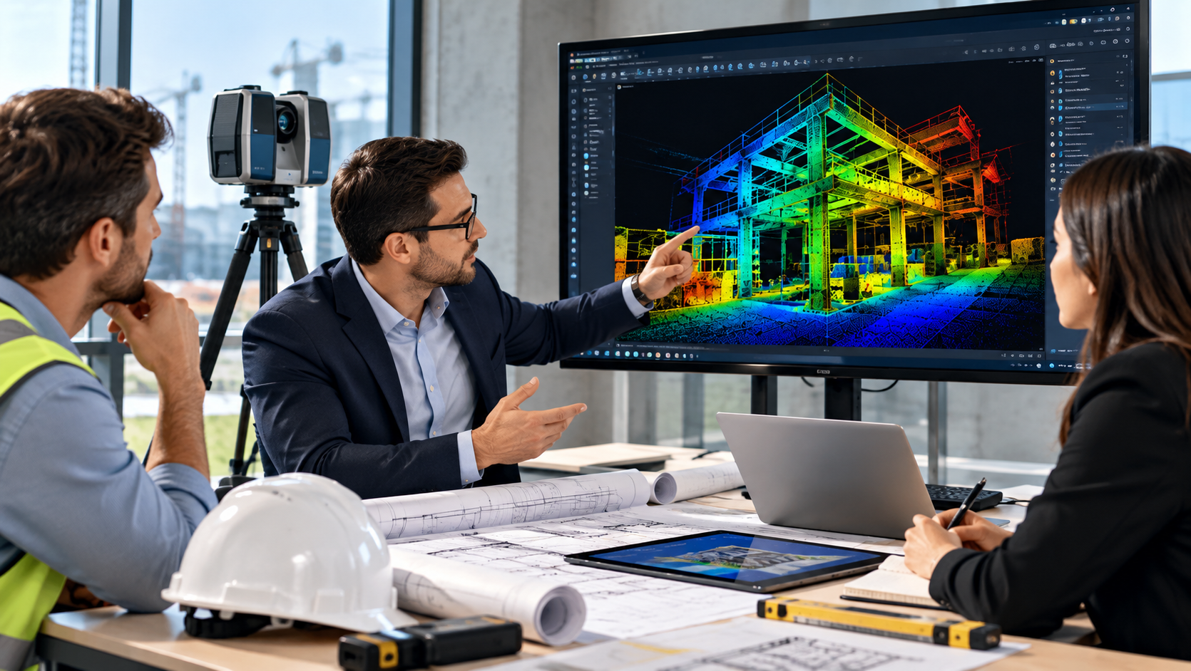
Make informed decisions before starting your reality capture project. NG NET PLLC provides technical consulting on scanning methods, accuracy requirements, survey control, field procedures, point-cloud processing, and deliverable formats to help clients select an efficient and appropriate approach.