Professional Land Surveying
Professional land surveying services in Illinois, including boundary, ALTA/NSPS, topographic, and construction surveys for residential and commercial projects.
PROFESSIONAL SURVEYING & GEOSPATIAL EXPERTISE
NG NET PLLC is an Illinois-licensed Professional Design Firm providing land surveying, reality capture, LiDAR scanning, drone mapping, and geospatial data services for residential, commercial, construction, and infrastructure projects.
Led by a Professional Land Surveyor licensed in Illinois and Wisconsin, NG NET PLLC combines professional surveying experience with modern geospatial technology to deliver reliable project information and practical solutions.
Illinois Professional Design Firm – Land Surveying | License No. 184.009837-0008
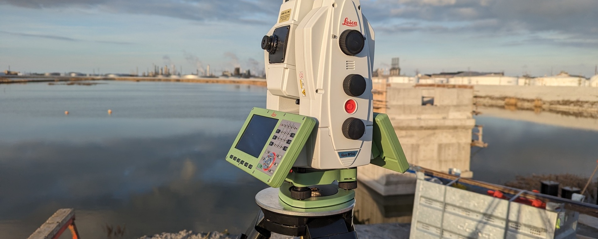
Professional land surveying services in Illinois, including boundary, ALTA/NSPS, topographic, and construction surveys for residential and commercial projects.
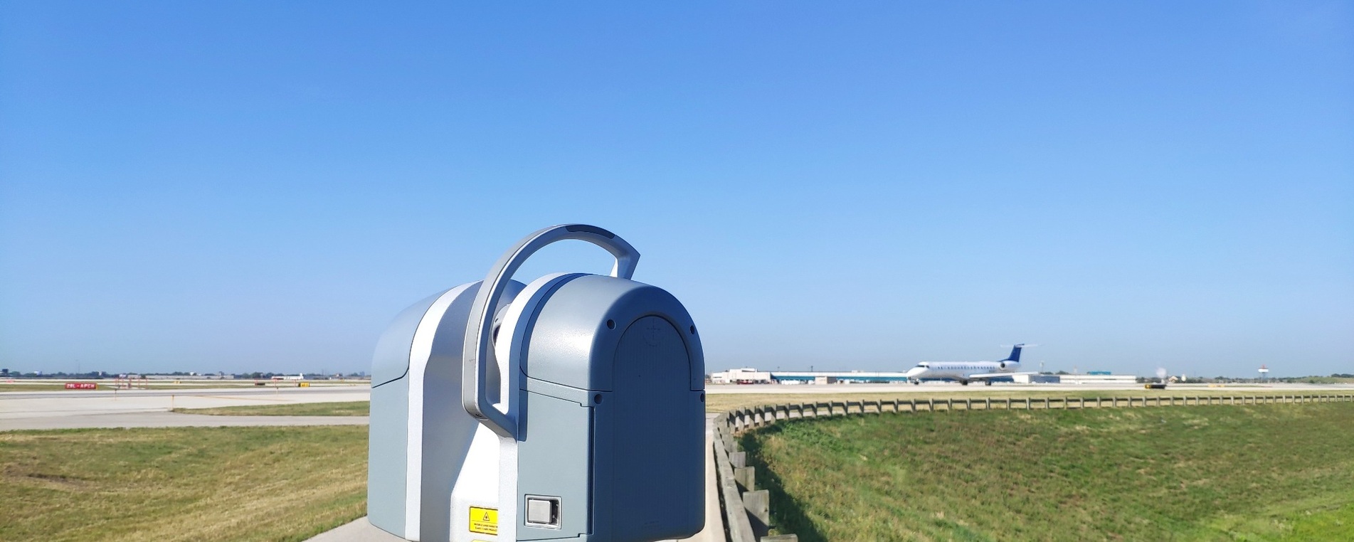
High-precision 3D laser scanning, existing-conditions documentation, and point-cloud processing for buildings, infrastructure, and construction projects.
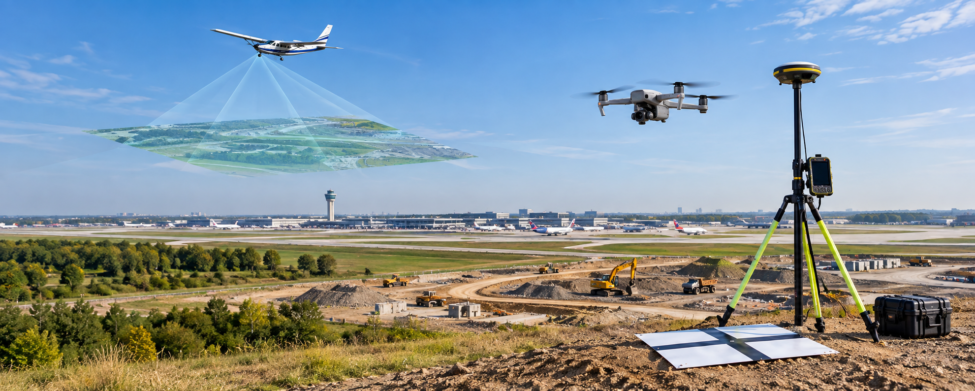
Aerial mapping, photogrammetry, infrastructure inspections, and construction documentation using drone technology and geospatial data processing.
The projects presented below highlight the professional experience of George Petrov, PLS, acquired through previous employment. They illustrate surveying, reality capture, and geospatial capabilities relevant to the services offered by NG NET PLLC.
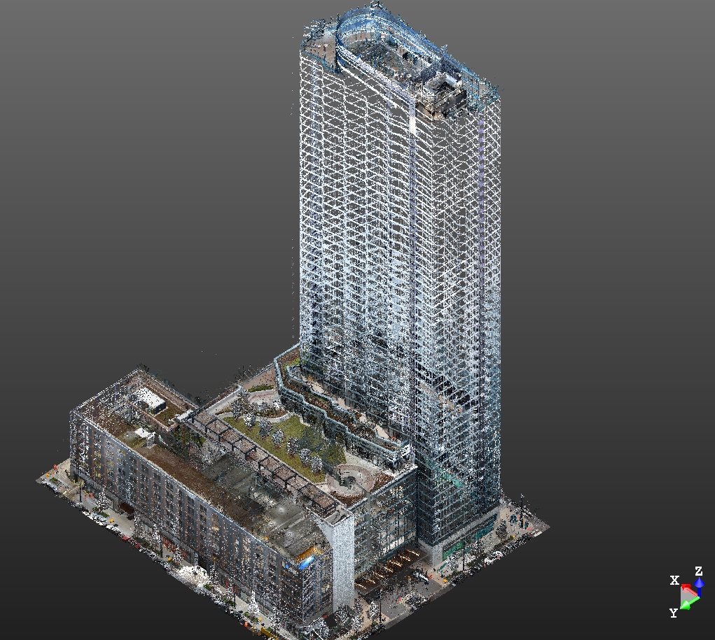
Construction layout, as-built LiDAR scanning, and point-cloud processing to support the preparation of 3D subdivision plats for a high-rise building.
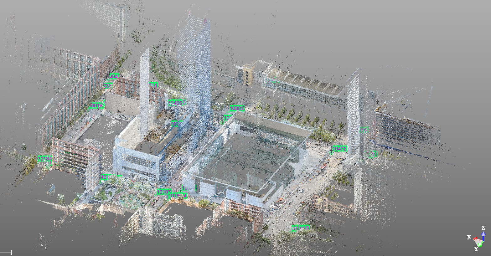
Terrestrial LiDAR data collection to support an ALTA/NSPS Land Title Survey, providing detailed spatial information and existing-conditions documentation for survey analysis and preparation.
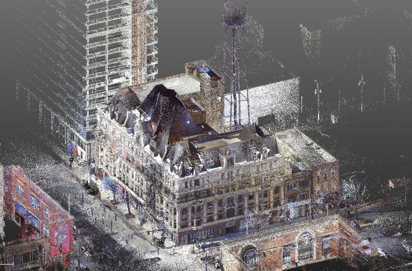
Terrestrial LiDAR scanning and existing-conditions documentation to support the architectural renovation and conversion of an existing building into office space.

October 15, 2026
Discover the contributions of Dr. Bradford Parkinson, widely recognized as the Father of GPS, and how satellite positioning transformed modern surveying and navigation.
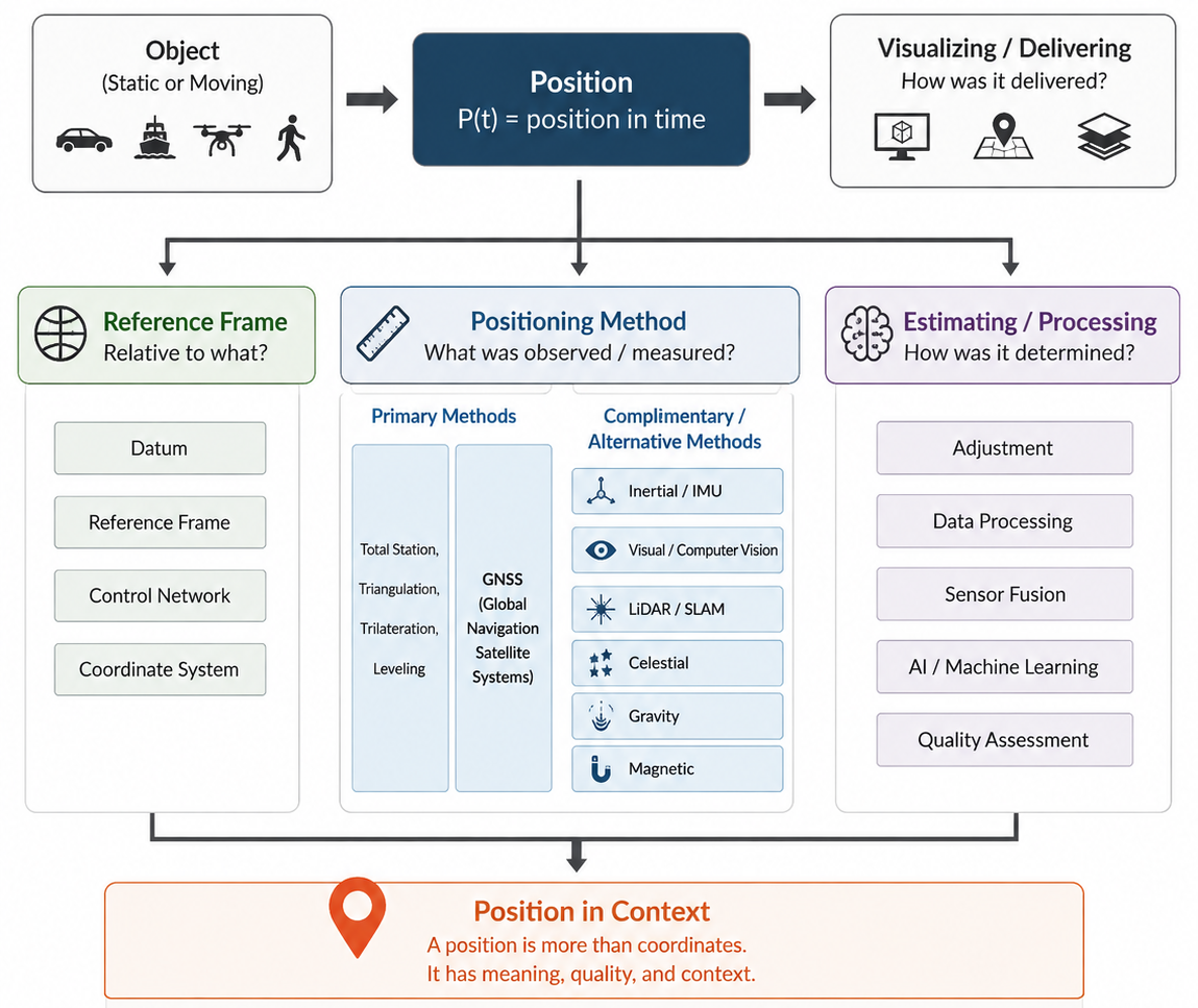
October 9, 2026
Explore Position in Context, a framework for understanding how coordinates, observations, reference systems, and supporting evidence contribute to reliable positioning.
January 13, 2026
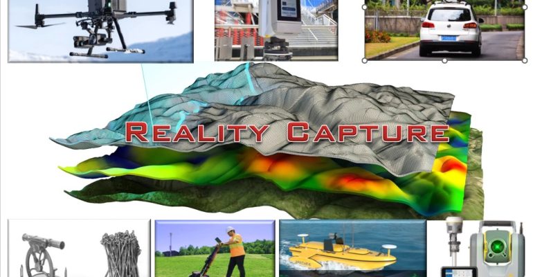
Surveying Meets the Future: Photogrammetry, LiDAR, Gaussian Splatting, and NeRF.
Tell us what you need, where the project is located, and any schedule or deliverable requirements. NG Net PLLC will review your request and contact you to discuss the next steps.