Complete Reality Capture Services
From Project Planning to Final Point-Cloud Delivery
NG Net PLLC provides complete Reality Capture services for clients who need existing conditions captured, processed, verified, and delivered as usable spatial data.
We begin by understanding the project requirements—not by selecting a scanner.
Site conditions, required accuracy, project size, accessibility, survey control, intended use of the data, schedule, and final deliverables are considered when selecting the appropriate capture technology and field methodology.
Depending on the project, the solution may include terrestrial laser scanning, SLAM, mobile scanning, drone LiDAR, aerial photogrammetry, or a combination of technologies.
Our Complete Workflow
Services may include:
- Project and capture planning
- Selection of appropriate capture technology
- Survey control integration when required
- Scanner control and target planning
- Terrestrial LiDAR / 3D laser scanning
- SLAM or mobile scanning
- Drone LiDAR or aerial capture
- Field data collection
- Scan registration and alignment
- Point-cloud georeferencing
- Coordinate-system and datum integration
- Point-cloud processing and organization
- Colorization
- Combining multiple scan datasets
- Registration and positional QA/QC
- Independent control checks when required
- Final point-cloud preparation
- Scan-viewing solutions
- Project-specific data delivery
Survey-Controlled Reality Capture
When project requirements call for georeferenced or survey-controlled data, Reality Capture can be integrated with professional surveying.
Survey control, GNSS, conventional survey measurements, project coordinate systems, vertical datums, and independent check points can be incorporated into the workflow as appropriate.
This provides a common spatial framework for integrating Reality Capture information with surveying, engineering, CAD, GIS, construction, and design data.
Deliverables
The final deliverable is prepared around the client’s intended use rather than a predefined package.
Depending on project requirements, deliverables may include:
- Registered point clouds
- Georeferenced point clouds
- Colorized combined point clouds
- Organized scan datasets
- Survey control information
- QA/QC documentation
- Orthophotos or supporting imagery
- Surface or terrain information
- Scan-viewing solutions
- Data prepared for subsequent feature extraction
Common point-cloud formats include:
RCP / RCS • E57 • LAS / LAZ • POD • PTS / PTX • XYZ
Additional commercial or project-specific formats can be provided based on the client’s software environment.
The Objective
The goal is not simply to scan the project.
The goal is to deliver an organized, verified, measurable point-cloud dataset ready for the client’s next engineering, surveying, construction, CAD, GIS, visualization, or feature-extraction workflow.d
Share:
Point Cloud Processing & QA/QC
October 7, 2026
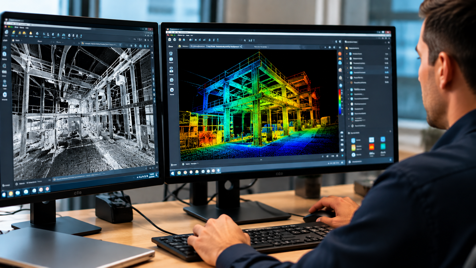
Already have laser scanning or point-cloud data? NG NET PLLC provides point-cloud processing, registration, georeferencing, quality control, and data preparation. We work with client-provided terrestrial LiDAR, mobile mapping, and aerial datasets to produce reliable, project-ready deliverables.
Reality Capture Consulting
October 7, 2026
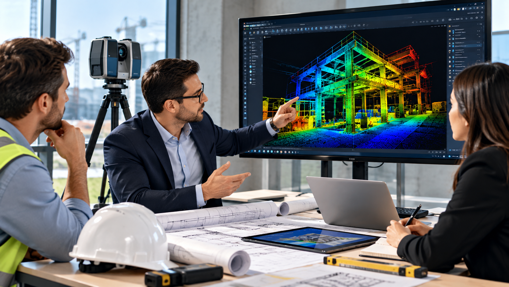
Make informed decisions before starting your reality capture project. NG NET PLLC provides technical consulting on scanning methods, accuracy requirements, survey control, field procedures, point-cloud processing, and deliverable formats to help clients select an efficient and appropriate approach.
Point Cloud Feature Extraction
October 7, 2026
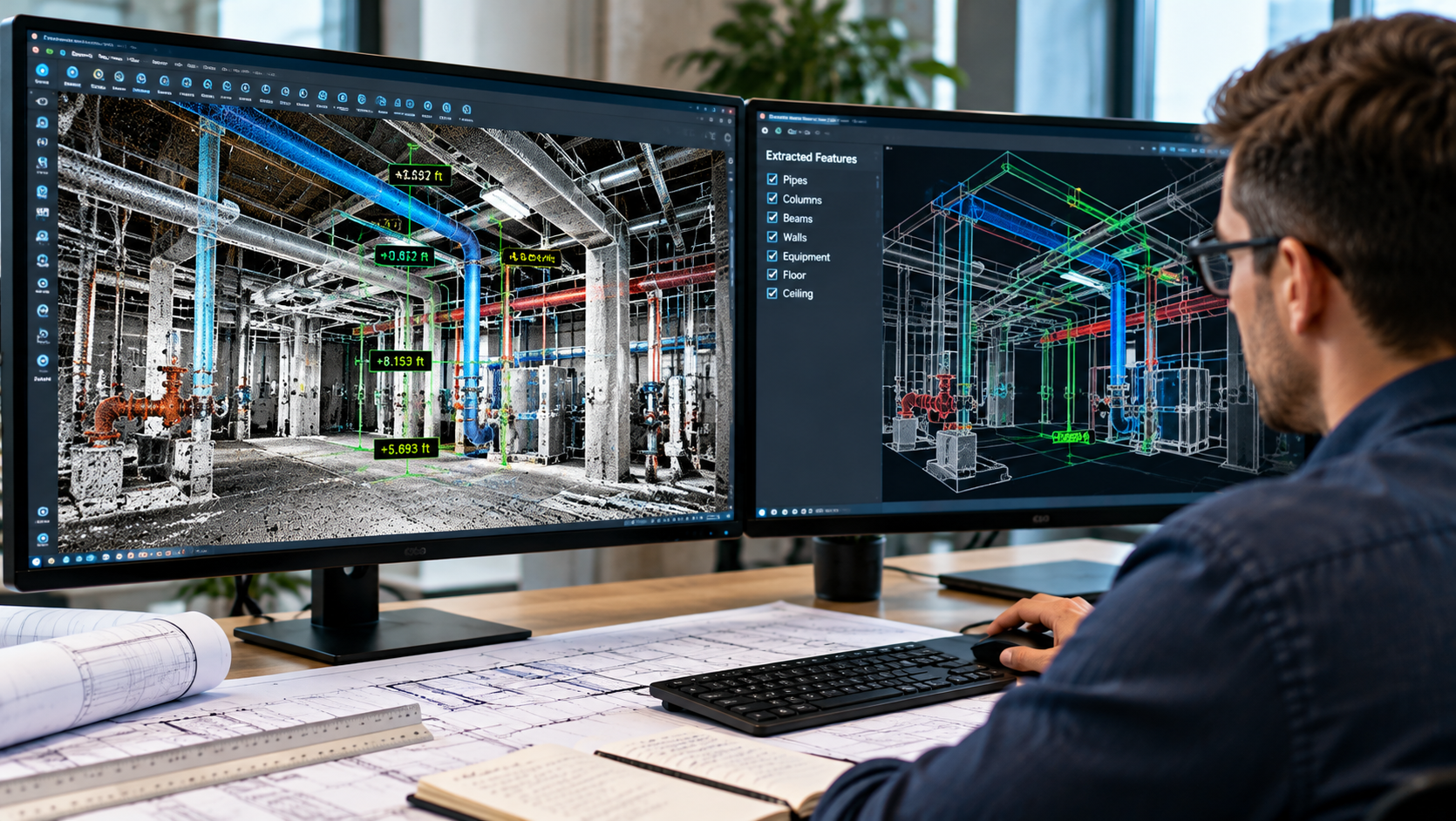
Transform point-cloud data into useful project information. NG NET PLLC extracts measurements, elevations, sections, profiles, clearances, and existing-condition features from LiDAR datasets to support engineering, surveying, construction, and facility management projects.