Point Cloud Processing & QA/QC
Already Have Scan Data? We Can Help Finish the Workflow.
Field collection is only one part of Reality Capture.
NG Net PLLC can receive client-provided terrestrial LiDAR, SLAM, mobile LiDAR, aerial LiDAR, photogrammetric, or other compatible point-cloud datasets and provide the processing, verification, georeferencing, organization, conversion, and final preparation required for continued project use.
This service is appropriate for clients who have already collected data internally or received scan data from another project participant but need specialized Reality Capture support to complete the workflow.
Processing Services
Depending on the condition of the source data and project requirements, services may include:
- Review of supplied scan data
- Scan registration
- Registration review
- Cloud-to-cloud alignment
- Dataset combination
- Point-cloud organization
- Data cleanup
- Colorization where source imagery is available
- Georeferencing
- Integration with supplied survey control
- Coordinate-system verification
- Coordinate transformation
- Vertical datum review
- Registration QA/QC
- Positional verification
- Identification of alignment or control issues
- Point-cloud conversion
- Final dataset preparation
Survey Control & Georeferencing
If survey control or known project coordinates are available, they can be incorporated into the processing workflow to verify or georeference the point-cloud dataset.
Where appropriate, NG Net PLLC can also evaluate whether additional field control or independent verification would improve the reliability of the final data.
The required level of control depends on the intended use of the dataset. Not every Reality Capture project requires survey-controlled positioning, while engineering, surveying, infrastructure, and construction applications may require a defined spatial reference.
QA/QC
A point cloud can appear visually correct while still containing registration, positioning, coordinate-system, or vertical-reference problems.
QA/QC may therefore include evaluation of:
- Registration consistency
- Scan-to-scan alignment
- Control residuals
- Independent check points
- Coordinate-system consistency
- Vertical reference
- Dataset overlap
- Potential systematic offsets
- Completeness of the supplied information
Any limitations identified in the supplied data can be discussed with the client before final delivery.
Input & Output Formats
We can work with common Reality Capture and point-cloud formats depending on the originating software and available source information.
Common formats include:
RCP / RCS • E57 • LAS / LAZ • POD • PTS / PTX • XYZ
Final data can be converted or prepared for the client’s required CAD, engineering, surveying, GIS, visualization, or downstream processing environment.
If you use another commercial format, contact us with the software and data type. We can review compatibility before beginning the project.
The Objective
You provide the Reality Capture data. We help turn it into an organized, verified, usable deliverable.
Share:
Complete Reality Capture Services
October 7, 2026
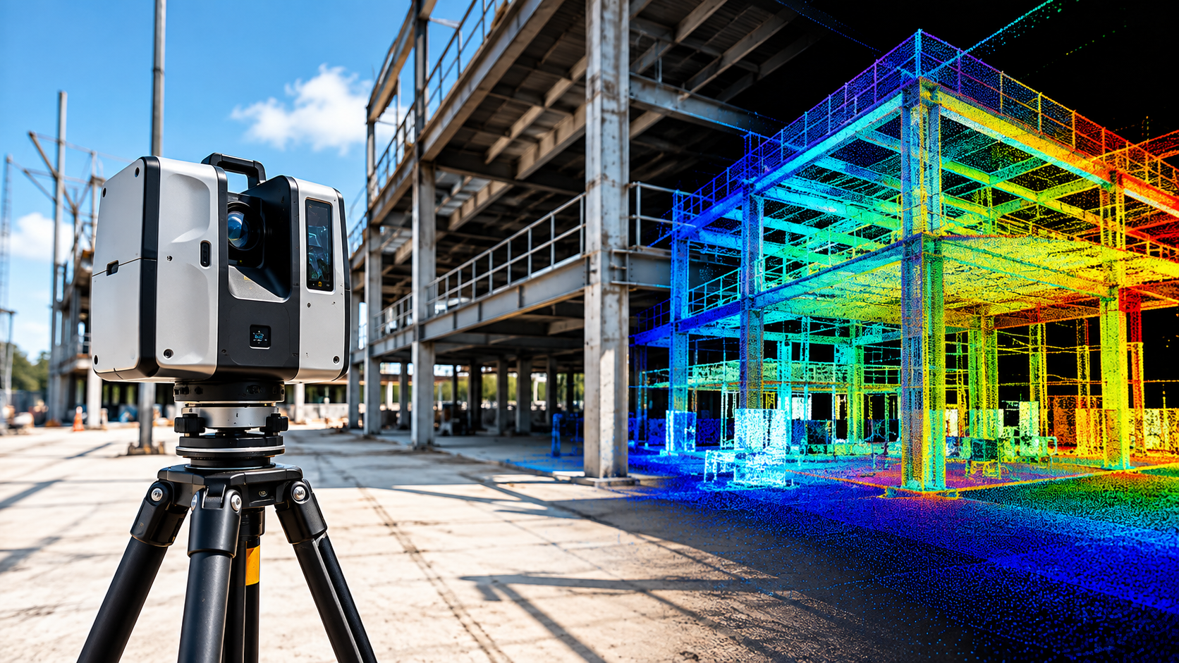
NG NET PLLC provides complete reality capture services, from field data collection and 3D laser scanning to point-cloud processing, verification, and delivery. Each project is planned around its accuracy requirements, site conditions, survey control, and intended use.
Reality Capture Consulting
October 7, 2026
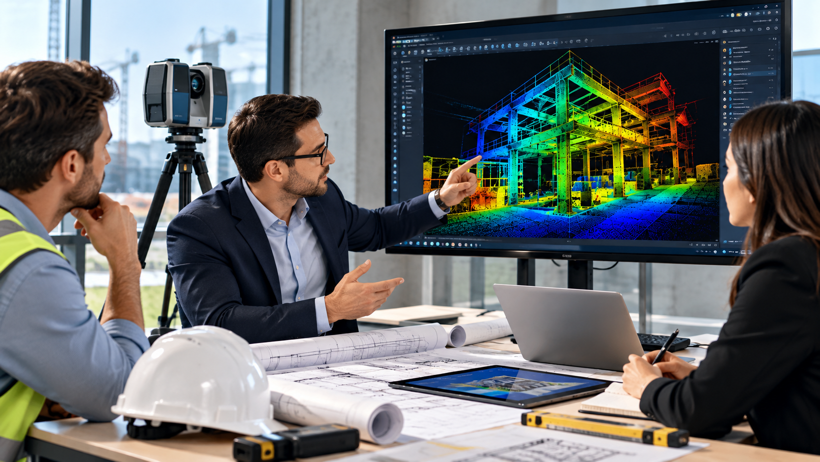
Make informed decisions before starting your reality capture project. NG NET PLLC provides technical consulting on scanning methods, accuracy requirements, survey control, field procedures, point-cloud processing, and deliverable formats to help clients select an efficient and appropriate approach.
Point Cloud Feature Extraction
October 7, 2026
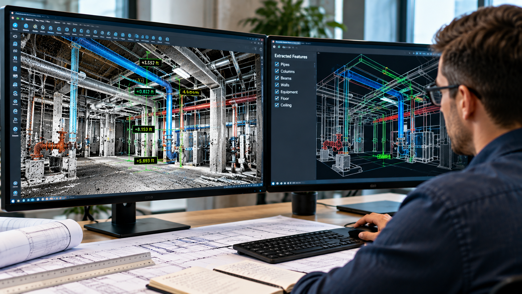
Transform point-cloud data into useful project information. NG NET PLLC extracts measurements, elevations, sections, profiles, clearances, and existing-condition features from LiDAR datasets to support engineering, surveying, construction, and facility management projects.