Point Cloud Feature Extraction
Turn Reality Capture Data Into Project Information.
The point cloud is often not the final product.
Engineers, surveyors, contractors, architects, facility managers, and other project professionals may need specific measurements, geometry, elevations, sections, profiles, clearances, surfaces, or existing-condition information extracted from the Reality Capture dataset.
NG Net PLLC can perform project-specific feature extraction and spatial analysis from point clouds collected by us or from suitable datasets supplied by the client.
Feature Extraction Services
Depending on the quality, density, accuracy, spatial reference, and intended use of the source data, extraction may include:
- Coordinates and elevations
- Existing-condition measurements
- Selected 2D or 3D linework
- Building and structural features
- Infrastructure features
- Cross sections
- Profiles
- Clearances
- Surface information
- Dimensional checks
- Feature locations
- Construction and as-built verification
- Project-specific measurements
- Selected geometry required for CAD or engineering use
The extraction scope is defined around the information the client actually needs rather than attempting to convert the entire point cloud into an unnecessary model.
Source Data Review
Before extracting project-critical information, the source point cloud can be reviewed as appropriate for:
- Registration
- Spatial reference
- Survey control
- Coordinate system
- Vertical datum
- Point density
- Coverage
- Data quality
- Suitability for the requested extraction
If limitations in the source data could affect the requested results, they can be identified and discussed before extraction proceeds.
Survey-Controlled Data
Where the extracted information will be used for surveying, engineering, construction, or other position-dependent applications, the relationship between the point cloud and the project control should be understood.
When appropriate, NG Net PLLC can integrate or verify survey control, georeferencing, coordinate systems, and vertical datums as part of the workflow.
Input & Deliverable Formats
Feature extraction can be performed from compatible point-cloud datasets, including common formats such as:
RCP / RCS • E57 • LAS / LAZ • POD • PTS / PTX • XYZ
Depending on the requested scope, final deliverables may include:
- Extracted coordinates
- Selected linework
- Cross sections
- Profiles
- Measurements
- Clearance information
- Surface information
- CAD-ready geometry
- Supporting point-cloud data
- QA/QC or verification information
Final formats can be coordinated with the client’s CAD, surveying, engineering, GIS, or other project software.
No Unnecessary Modeling
NG Net PLLC currently focuses on point-cloud processing and the extraction of useful spatial information rather than providing full Scan-to-BIM or comprehensive 3D modeling services.
For many projects, a complete model is not necessary.
When the client needs specific existing-condition information, extracting the required features directly from the point cloud can provide a more focused and efficient deliverable.
The Objective
Turn a large Reality Capture dataset into the specific spatial information your project needs.
Share:
Point Cloud Processing & QA/QC
October 7, 2026
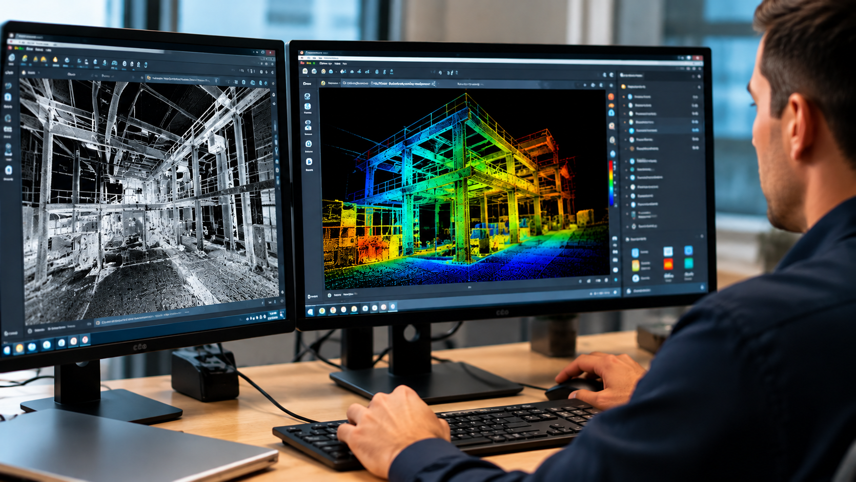
Already have laser scanning or point-cloud data? NG NET PLLC provides point-cloud processing, registration, georeferencing, quality control, and data preparation. We work with client-provided terrestrial LiDAR, mobile mapping, and aerial datasets to produce reliable, project-ready deliverables.
Complete Reality Capture Services
October 7, 2026
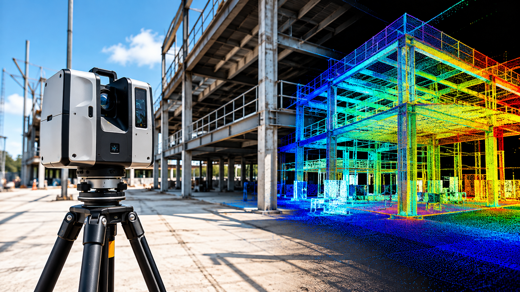
NG NET PLLC provides complete reality capture services, from field data collection and 3D laser scanning to point-cloud processing, verification, and delivery. Each project is planned around its accuracy requirements, site conditions, survey control, and intended use.

Reality Capture Consulting
October 7, 2026
Make informed decisions before starting your reality capture project. NG NET PLLC provides technical consulting on scanning methods, accuracy requirements, survey control, field procedures, point-cloud processing, and deliverable formats to help clients select an efficient and appropriate approach.