Reality Capture Consulting
Start With the Project Requirements — Not the Scanner.
Reality Capture projects can generate enormous amounts of data very quickly. Collecting more data, however, does not automatically produce a better project.
The capture technology, accuracy, resolution, survey control, coordinate system, field methodology, processing workflow, QA/QC, and final deliverables should be considered before collection begins.
NG Net PLLC provides professional Reality Capture consulting for clients who need assistance planning a new project, evaluating an existing workflow, or resolving technical issues with Reality Capture data.
Project Planning & Technology Selection
We can help evaluate whether the project is better suited for:
- Terrestrial laser scanning
- SLAM scanning
- Mobile LiDAR
- Drone LiDAR
- Aerial photogrammetry
- Conventional survey integration
- A combination of capture technologies
The recommendation is based on the project’s actual requirements rather than a particular scanner or platform.
Consulting Services
Depending on the project, consulting may include:
- Reality Capture methodology
- Scanner and technology selection
- Accuracy requirements
- Point density and resolution
- Field collection strategy
- Scanner-position planning
- Survey-control strategy
- Target and control-point planning
- Coordinate systems and datums
- Georeferencing methodology
- Registration strategy
- Independent verification
- QA/QC methodology
- Data organization
- File-format selection
- Deliverable planning
- CAD, GIS, survey, and engineering integration
- Review of existing Reality Capture workflows
- Review of existing point-cloud datasets
Survey Control Strategy
Where spatial positioning is important, we can help determine the appropriate relationship between the Reality Capture dataset and the project’s survey control.
This may include recommendations for control density, target placement, independent check points, GNSS or conventional survey integration, project coordinate systems, vertical datums, and final georeferencing requirements.
The level of control should correspond to the accuracy required by the final application.
Planning the Deliverable Before Collection
One of the most important questions should be answered before scanning begins:
What does the client need to do with the data?
The answer affects capture resolution, field coverage, control, processing, file size, software compatibility, and the appropriate final format.
Common deliverable environments may use formats such as:
RCP / RCS • E57 • LAS / LAZ • POD • PTS / PTX • XYZ
We can help determine an appropriate format and data structure based on the client’s intended workflow.
The Objective
Good Reality Capture planning can reduce unnecessary field collection, oversized datasets, incompatible deliverables, processing problems, and the need to return to the site.
Capture what the project needs, control it appropriately, verify it, and deliver it in a form the client can actually use.
Share:
Point Cloud Processing & QA/QC
October 7, 2026
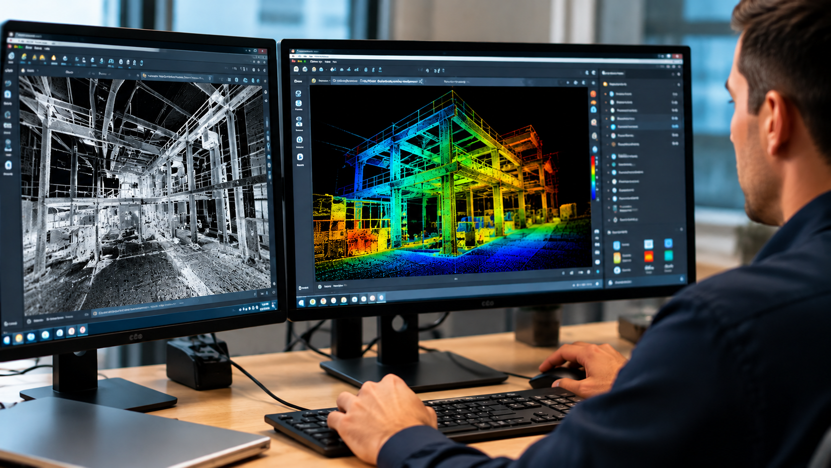
Already have laser scanning or point-cloud data? NG NET PLLC provides point-cloud processing, registration, georeferencing, quality control, and data preparation. We work with client-provided terrestrial LiDAR, mobile mapping, and aerial datasets to produce reliable, project-ready deliverables.
Complete Reality Capture Services
October 7, 2026
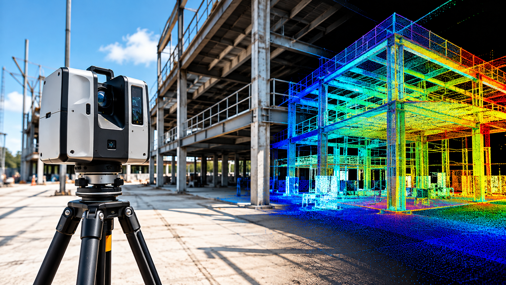
NG NET PLLC provides complete reality capture services, from field data collection and 3D laser scanning to point-cloud processing, verification, and delivery. Each project is planned around its accuracy requirements, site conditions, survey control, and intended use.
Point Cloud Feature Extraction
October 7, 2026
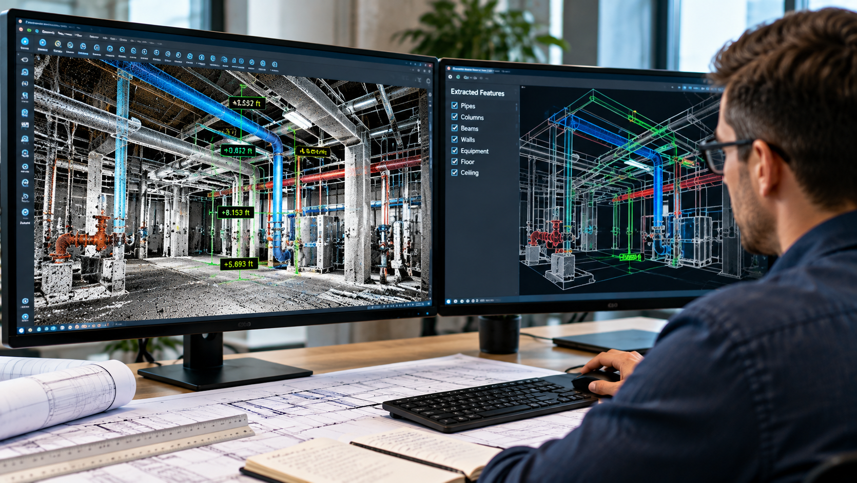
Transform point-cloud data into useful project information. NG NET PLLC extracts measurements, elevations, sections, profiles, clearances, and existing-condition features from LiDAR datasets to support engineering, surveying, construction, and facility management projects.