
Drone Inspections & Infrastructure Documentation
Detailed Aerial Documentation for Safer, More Efficient Asset Management
NG Net PLLC provides drone-based inspection documentation and geospatial analysis for infrastructure, buildings, utilities, industrial facilities, and other assets.
UAS technology allows detailed visual information to be collected from elevated, remote, or difficult-to-access locations, helping clients document existing conditions, identify areas requiring additional investigation, and maintain consistent records of their assets.
Depending on project requirements, services may include high-resolution photography, video, thermal imagery, georeferenced documentation, measurements, and customized reports.
Our Drone Inspection Services
- Bridges & Transportation Infrastructure: Visual documentation of bridges, structural components, transportation corridors, and hard-to-access areas.
- Buildings & Roofs: Aerial imagery for roof-condition documentation, building façades, exterior features, and maintenance planning.
- Solar Farm Inspections: High-resolution and project-specific thermal imagery to support identification of apparent temperature anomalies, damaged panels, and areas requiring additional electrical investigation.
- Utility & Electrical Infrastructure: Documentation of power lines, transmission corridors, substations, and vegetation encroachment.
- Telecommunications Infrastructure: Visual documentation of towers, antennas, equipment installations, and elevated structures.
- Industrial Facilities: Aerial documentation of tanks, pipelines, processing facilities, and other industrial assets.
- Water & Wastewater Facilities: Visual documentation of treatment facilities, tanks, pipelines, and associated infrastructure.
- Storm & Damage Documentation: Before-and-after imagery and documentation of visible damage following severe weather or other events.
Inspection Data Processing & Analysis
In addition to aerial data collection, NG Net PLLC can process suitable client-provided imagery, thermal data, and other inspection datasets.
Services may include:
- Image organization and review
- Georeferenced inspection documentation
- Visual comparison of asset conditions
- Thermal image processing and temperature-pattern mapping
- Measurements and feature identification
- GIS integration and asset-location mapping
- Preparation of inspection exhibits and reports
Project Deliverables
- High-resolution aerial photographs
- Geotagged images and video
- Thermal imagery and temperature-pattern maps
- Georeferenced inspection maps
- Annotated images and exhibits
- Before-and-after comparisons
- GIS-compatible documentation
- PDF reports and organized digital data packages
Why Choose NG Net PLLC?
We combine UAS data collection with geospatial processing, mapping, and documentation to help clients understand where observed conditions occur and maintain useful records for future comparison.
Our services focus on aerial observation and documentation. Specialized structural, electrical, engineering, or other regulated professional assessments are performed by appropriately qualified professionals.
Need an Aerial Inspection or Have Existing Inspection Data?
Contact NG Net PLLC to discuss your facility, infrastructure, or asset documentation requirements.
Share:
Drone Mapping & Geospatial Data Processing
October 8, 2026
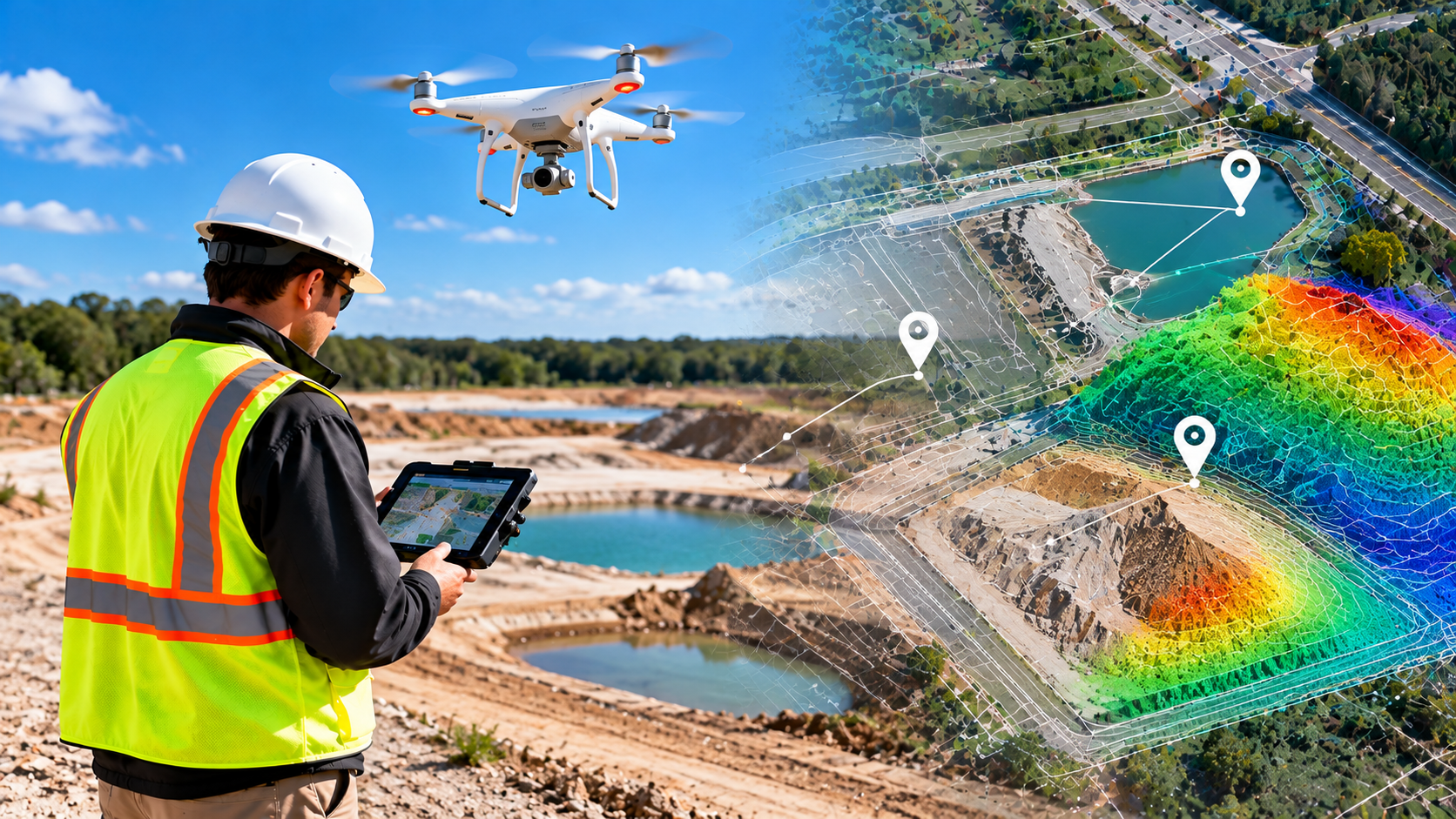
NG NET PLLC provides drone mapping, photogrammetry, LiDAR processing, and geospatial analysis for surveying, engineering, construction, and environmental projects. From flight planning and data collection to processing and quality control, we deliver georeferenced imagery, mapping products, and spatial data tailored to project requirements. We also process client-provided drone datasets.
Construction Drone Mapping & Earthwork Analysis
October 8, 2026
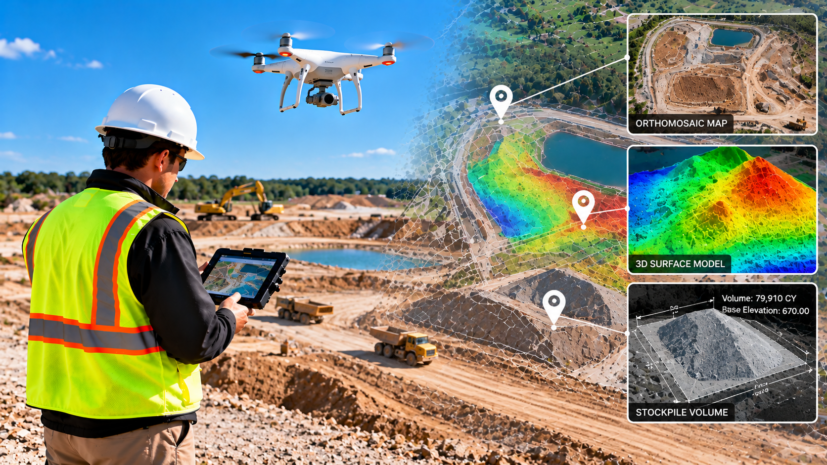
Support construction planning and progress monitoring with drone-based mapping and earthwork analysis. NG NET PLLC provides aerial site documentation, orthomosaics, surface models, stockpile volume calculations, and terrain comparisons to help contractors and engineers evaluate site conditions, track progress, and document changes over time.
Agricultural Drone Mapping & Crop Monitoring
October 8, 2026
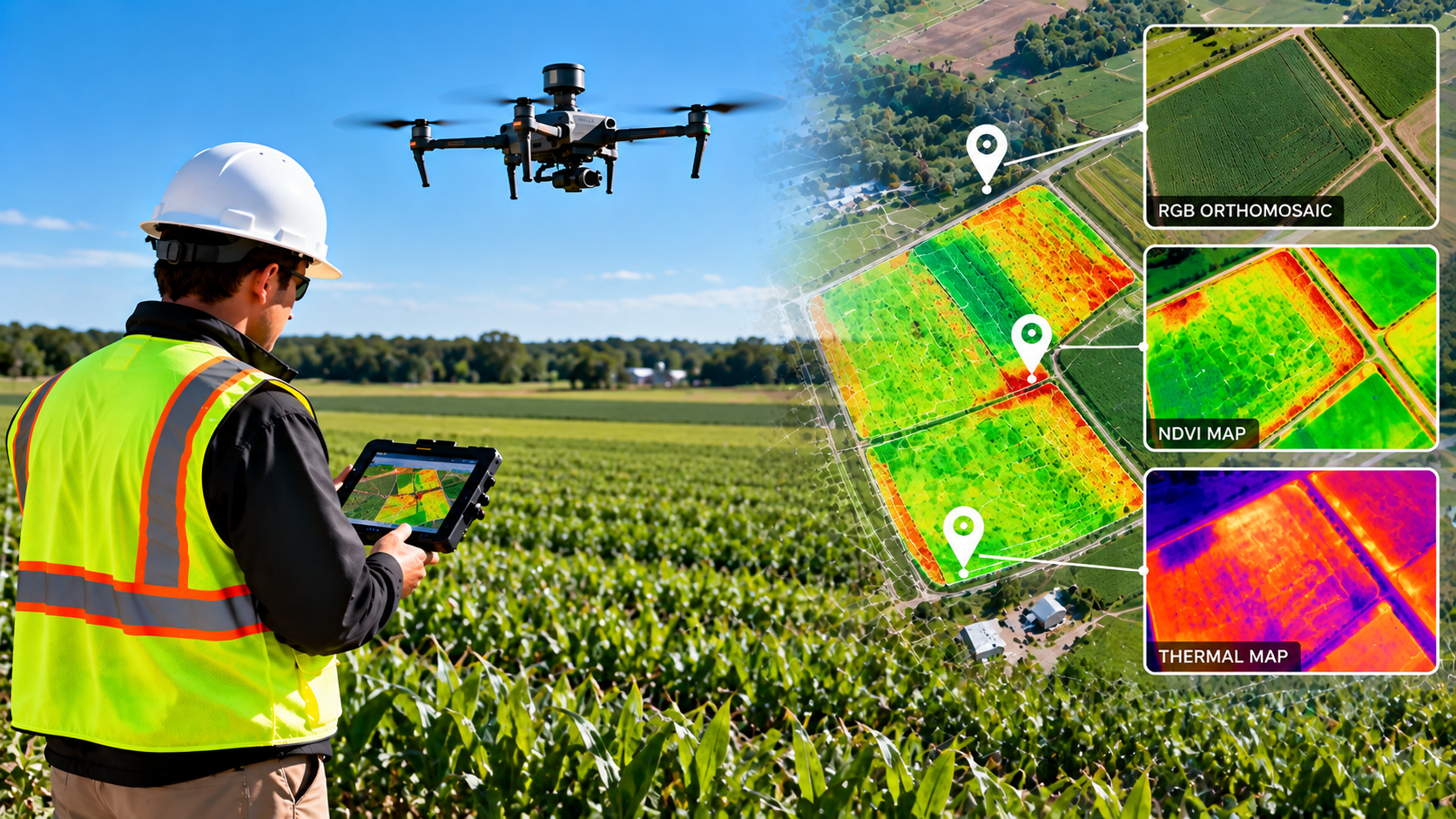
NG NET PLLC provides agricultural drone mapping and geospatial data processing to support crop monitoring and land management. Using multispectral imagery, vegetation indices such as NDVI, and thermal data when appropriate, we help clients identify vegetation patterns, assess field variability, and visualize changing agricultural conditions.