
Topographic Surveys & Mapping
Existing-Conditions Information for Engineering, Design, and Development
Topographic surveying documents the horizontal and vertical positions of natural and constructed features within a project area.
Reliable topographic information helps engineers, architects, developers, and contractors understand existing site conditions before design or construction begins.
When You May Need This Service
- Site planning and development
- Grading and drainage design
- Stormwater management
- Roadway and infrastructure improvements
- Building and site additions
- Utility planning
- Landscape design
- Existing-condition documentation
What We Provide
Depending on the agreed scope:
- Ground elevations and contour mapping
- Existing buildings and structures
- Pavement, sidewalks, curbs, and retaining walls
- Drainage features and watercourses
- Visible utilities and selected utility information
- Survey control and benchmark information
- Topographic maps and digital survey data
Flexible Surveying Technology
Topographic information may be collected using:
- Conventional surveying instruments
- GNSS/GPS
- Terrestrial LiDAR scanning
- Photogrammetry
- UAV/drone mapping
Two Types of Deliverables
Boundary and Topographic Survey: Combines topographic information with a professional boundary survey.
Topographic Map: Documents existing site conditions without establishing the property’s legal boundaries.
The appropriate service is selected according to the client’s project requirements.
Digital deliverables, including CAD drawings, terrain surfaces, and survey data, can be coordinated with the design team. Signed and sealed survey documentation is provided as required.
Planning a project that requires accurate existing-condition information? Contact us to discuss your topographic mapping needs.
Share:
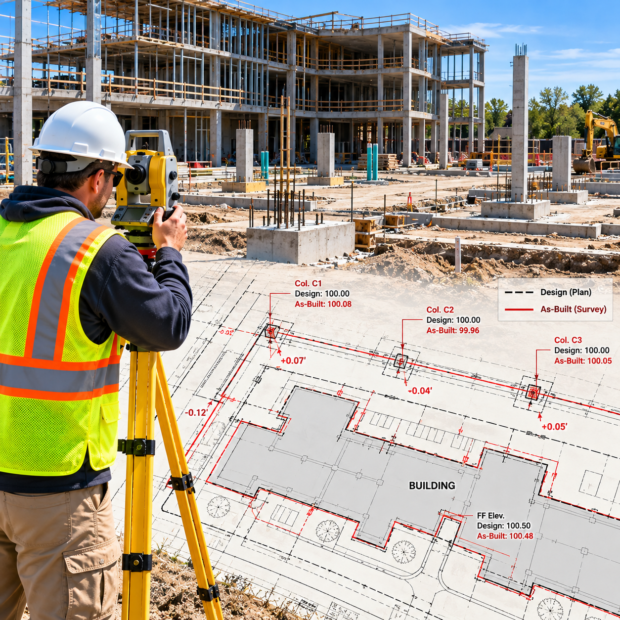
Construction As-Built Surveys
October 18, 2026
Verify completed construction with accurate field measurements, elevations, and CAD-ready survey deliverables.
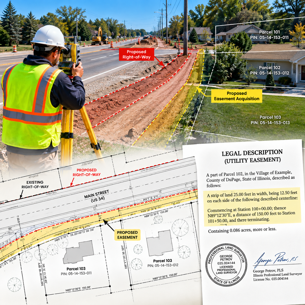
Legal Description & Easement Services
October 9, 2026
Legal descriptions identify land parcels and other defined property areas for legal documents, conveyances, easements, and related purposes.
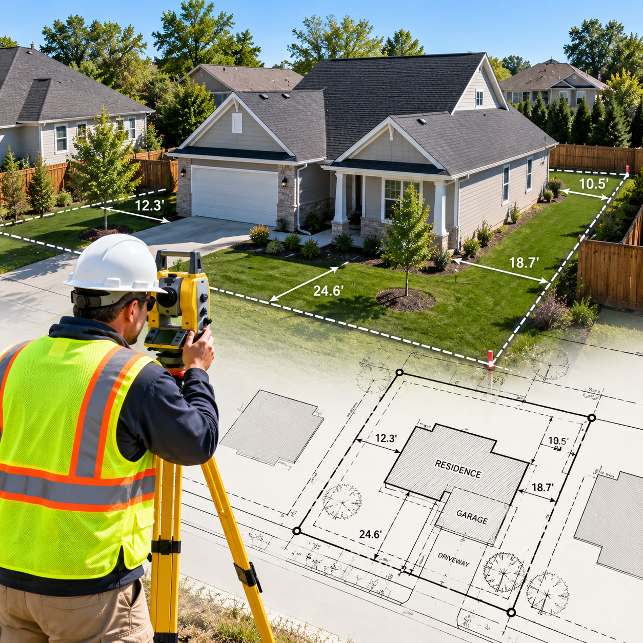
Mortgage Inspections
October 9, 2026
Residential property improvement inspections for mortgage transactions, lenders, and real estate professionals.