
Drone / UAS Mapping & Inspections
Drone Mapping & Geospatial Data Processing
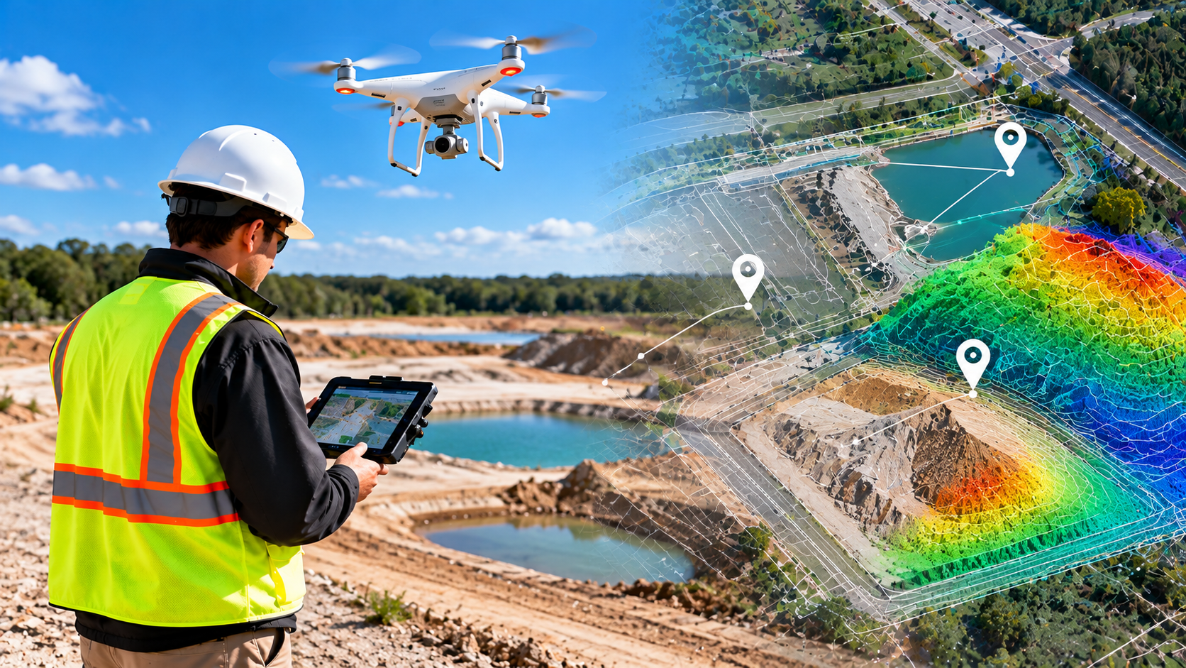
NG NET PLLC provides drone mapping, photogrammetry, LiDAR processing, and geospatial analysis for surveying, engineering, construction, and environmental projects. From flight planning and data collection to processing and quality control, we deliver georeferenced imagery, mapping products, and spatial data tailored to project requirements. We also process client-provided drone datasets.
Construction Drone Mapping & Earthwork Analysis
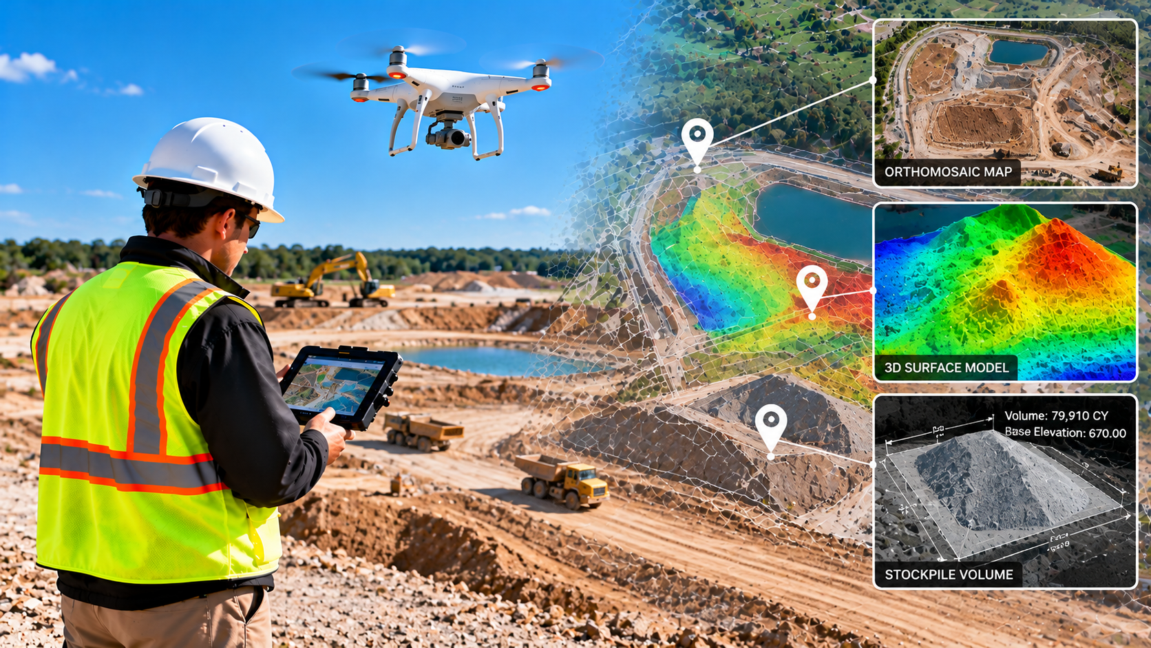
Support construction planning and progress monitoring with drone-based mapping and earthwork analysis. NG NET PLLC provides aerial site documentation, orthomosaics, surface models, stockpile volume calculations, and terrain comparisons to help contractors and engineers evaluate site conditions, track progress, and document changes over time.
Agricultural Drone Mapping & Crop Monitoring
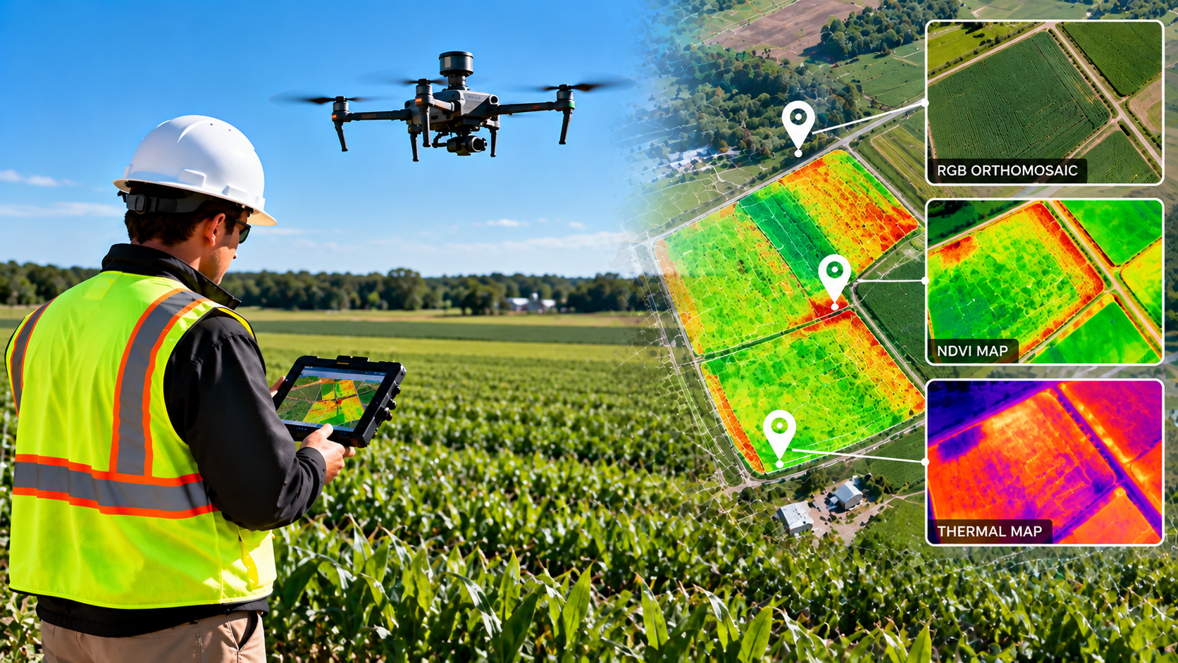
NG NET PLLC provides agricultural drone mapping and geospatial data processing to support crop monitoring and land management. Using multispectral imagery, vegetation indices such as NDVI, and thermal data when appropriate, we help clients identify vegetation patterns, assess field variability, and visualize changing agricultural conditions.
Drone Inspections & Infrastructure Documentation
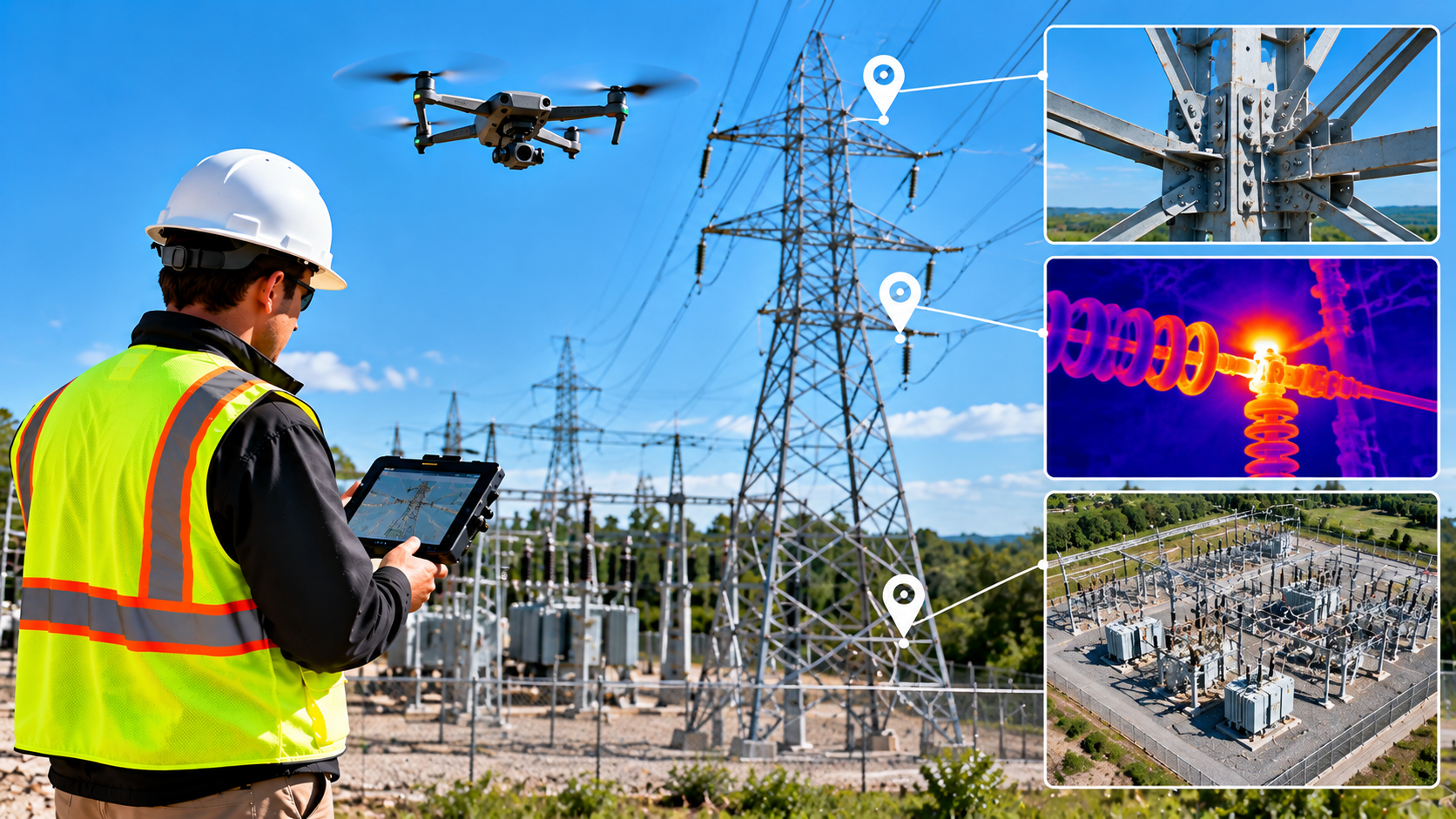
NG NET PLLC provides drone-based visual inspections and aerial documentation for buildings, infrastructure, utilities, and industrial facilities. High-resolution imagery and geospatial data help clients document existing conditions, identify areas requiring further investigation, and support maintenance planning while reducing the need for direct access to difficult-to-reach locations.