
GIS Data Conversion & Integration
Connecting Different Data Sources Into One Geographic Framework
Geospatial information is often developed using different software platforms, coordinate systems, file formats, and collection methods.
NG Net PLLC provides GIS data conversion and integration services to help clients organize, transform, and combine existing spatial information into compatible and usable datasets.
Our background in surveying, coordinate systems, CAD, GNSS positioning, and GIS allows us to address not only file-format compatibility but also the spatial relationships between different data sources.
Our Services Include
CAD-to-GIS & GIS-to-CAD Conversion
Conversion of compatible CAD drawings and GIS datasets while preserving relevant geometry, coordinates, and available attribute information.
Coordinate System & Datum Transformation
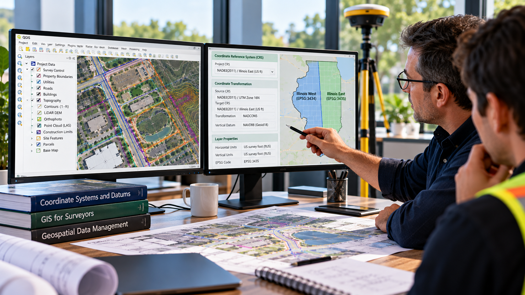
Evaluation and transformation of spatial datasets between supported geographic and projected coordinate systems, including State Plane Coordinate Systems and project-specific references.
Georeferencing
Alignment of raster imagery, scanned plans, and other spatial resources to appropriate geographic or project coordinate references using available control information.
Spatial Data Integration
Combining survey data, CAD drawings, GIS layers, GNSS observations, aerial imagery, terrain information, and other compatible spatial resources.
Geodatabase Development & Organization
Preparation and organization of spatial datasets, feature layers, attribute tables, and project-specific geodatabases.
Data Quality Review
Review of coordinate references, geometry, missing attributes, duplicated features, and potential spatial inconsistencies identified during conversion or integration.
Supported Data Formats
Depending on the source data and project requirements:
- GIS: SHP, GeoPackage, GeoJSON, KML/KMZ
- CAD: DWG, DXF, DGN where supported
- Tabular: CSV, XLSX
- Raster: GeoTIFF, TIFF, JPG with appropriate georeferencing
- Point Cloud: LAS/LAZ and compatible derived geospatial information
Typical Applications
- Migrating CAD information into GIS
- Preparing GIS information for engineering design
- Integrating survey and GIS datasets
- Combining aerial imagery with existing mapping
- Coordinate-system conversion
- Organizing legacy spatial information
- Developing project geodatabases
Deliverables
Converted spatial datasets, organized GIS layers, coordinate-system documentation, geodatabases, and project files in agreed formats.
Working with incompatible GIS, CAD, or survey datasets?
NG Net PLLC can help convert, organize, and integrate your spatial information into a consistent geographic framework.
Share:

GIS Field Data Collection & Validation
October 8, 2026
Reliable GIS information begins with accurate field data. NG NET PLLC provides geospatial field data collection, feature identification, attribute verification, and spatial data validation using GNSS and surveying technologies. We help clients develop and maintain GIS datasets that reflect actual field conditions and support informed project decisions.
GIS Mapping & Data Visualization
October 8, 2026
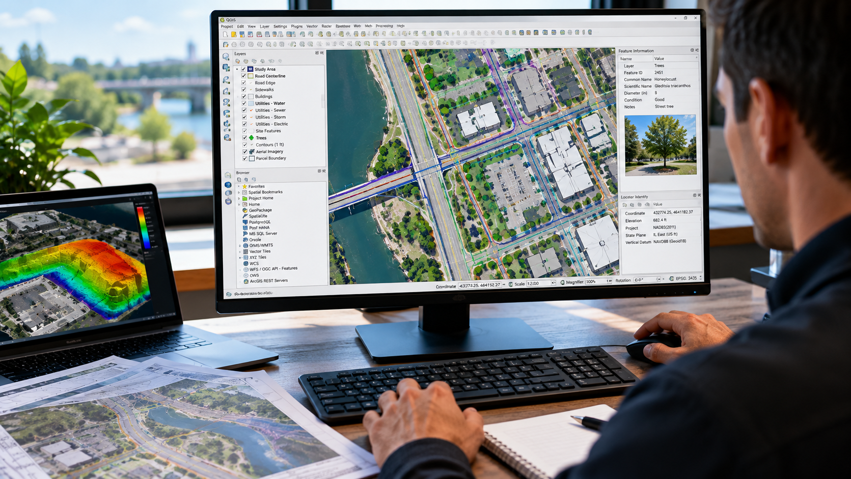
Turn geospatial data into clear, useful maps. NG NET PLLC creates professional GIS maps and visualizations using client-provided datasets, survey information, aerial imagery, CAD drawings, and public geospatial resources. We organize spatial information into meaningful layers and mapping products to support planning, analysis, documentation, and communication.
GIS Consulting & Technical Support
October 8, 2026
NG NET PLLC provides GIS consulting and technical support to help clients plan, organize, evaluate, and improve their geospatial workflows. Services include coordinate system guidance, data organization, GIS software support, quality control, and integration of survey, CAD, and mapping information into practical project applications.