
GIS Mapping & Data Visualization
Transform Spatial Data Into Clear, Useful Maps
Geographic information becomes more valuable when it can be clearly visualized, interpreted, and communicated.
NG Net PLLC provides professional GIS mapping and data visualization services using client-provided spatial datasets, survey information, aerial imagery, CAD drawings, and other geographic resources.
Using GIS technology, including QGIS, we organize multiple sources of information into meaningful map layers, develop thematic representations, and prepare visual products that support engineering, planning, construction, infrastructure management, and project documentation.
Our approach focuses on transforming existing spatial information into practical mapping products that help clients understand geographic relationships, evaluate project conditions, and make informed decisions.
Our Services Include
GIS Mapping & Cartographic Production
Development of professional maps, site exhibits, infrastructure maps, asset maps, and other project-specific geographic representations.
Maps can include customized symbols, labels, legends, coordinate grids, scale information, and other cartographic elements appropriate for the intended application.
Visualization of Client-Provided Data
Importing, organizing, and displaying existing GIS datasets, survey information, coordinate files, aerial imagery, and other spatial resources.
We help clients bring information from different sources into a common mapping environment, allowing geographic features and associated attributes to be visualized together.
Thematic Mapping
Visualization of geographic information based on attributes such as asset type, condition, classification, elevation, inspection status, or other client-defined categories.
Thematic maps help identify geographic patterns, communicate project conditions, and present complex information in an understandable format.
Spatial Analysis & Visualization
Project-specific spatial analysis, including distance and area measurements, proximity and buffer analysis, spatial overlays, feature comparisons, and visualization of relationships between datasets.
Results can be presented through maps, tables, and supporting exhibits to assist with planning, engineering, and infrastructure-related decisions.
GIS Layer Organization & Map Preparation
Development of organized map layers, symbology, labels, legends, and supporting information to improve readability and interpretation.
We can also prepare GIS project files that allow clients to continue working with the organized spatial information in compatible GIS software.
Typical Applications
- Infrastructure and utility mapping
- Engineering and construction exhibits
- Property and site information maps
- Asset inventory visualization
- Environmental and vegetation mapping
- Transportation and roadway mapping
- Project progress and condition mapping
- Aerial imagery and survey-data overlays
- Thematic mapping and geographic analysis
- Facility and site management maps
Deliverables
Depending on project requirements, deliverables may include:
- GIS project files and organized spatial layers
- Professional digital maps and cartographic exhibits
- Thematic maps and spatial analysis results
- Georeferenced mapping products
- GIS-compatible datasets
- Digital maps in PDF, PNG, TIFF, or other agreed formats
- GeoPackage, SHP, GeoJSON, KML/KMZ, and other compatible GIS formats
Deliverables can be customized to the client’s intended use, existing software environment, and project requirements.
Turn Your Existing GIS Data Into Meaningful Information
Already have GIS data but need professional mapping, visualization, or spatial analysis?
NG Net PLLC can transform your existing spatial information into clear, organized, and practical mapping products that support better understanding, communication, and project decisions.
Contact NG Net PLLC to discuss your GIS mapping and visualization needs.
Share:
GIS Data Conversion & Integration
October 8, 2026
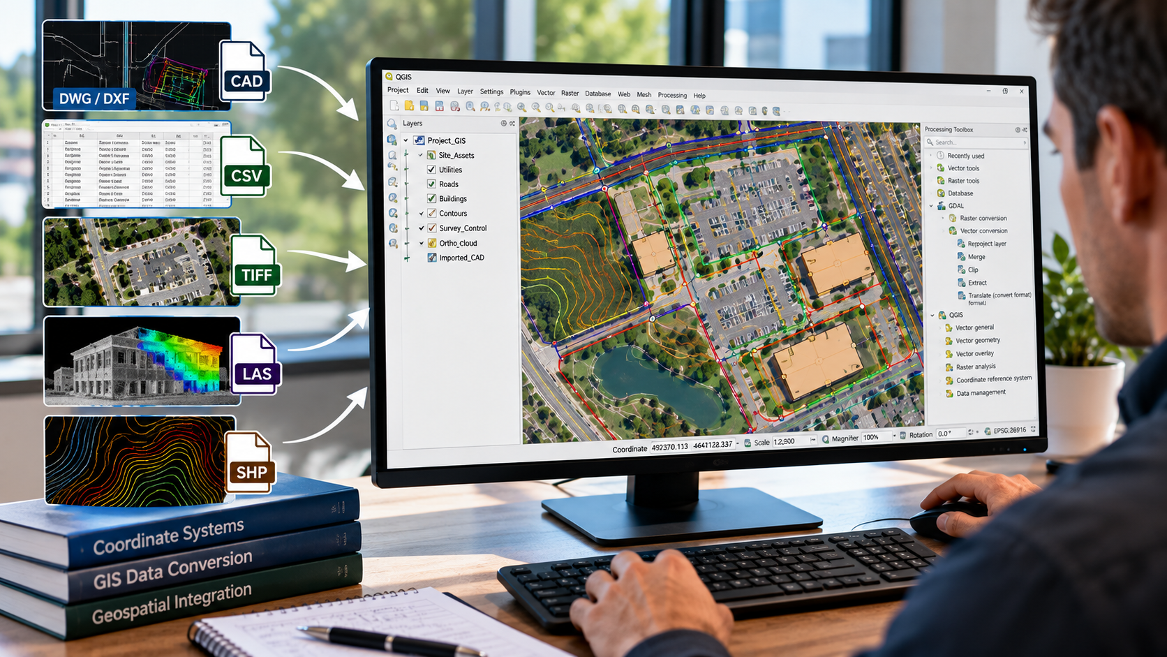
NG NET PLLC converts and integrates geospatial data from CAD drawings, survey datasets, aerial imagery, and existing GIS databases into organized, compatible GIS formats. We help clients combine information from multiple sources, establish consistent coordinate systems, and prepare reliable spatial datasets for mapping, analysis, and project workflows.

GIS Field Data Collection & Validation
October 8, 2026
Reliable GIS information begins with accurate field data. NG NET PLLC provides geospatial field data collection, feature identification, attribute verification, and spatial data validation using GNSS and surveying technologies. We help clients develop and maintain GIS datasets that reflect actual field conditions and support informed project decisions.
GIS Consulting & Technical Support
October 8, 2026
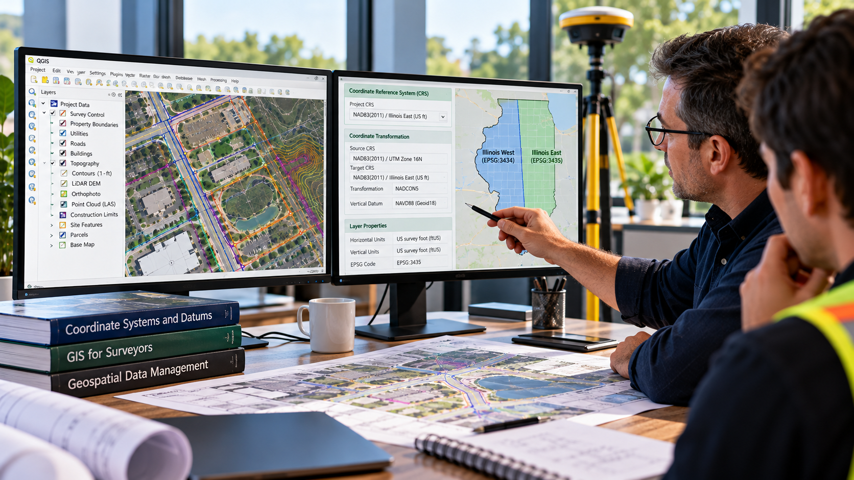
NG NET PLLC provides GIS consulting and technical support to help clients plan, organize, evaluate, and improve their geospatial workflows. Services include coordinate system guidance, data organization, GIS software support, quality control, and integration of survey, CAD, and mapping information into practical project applications.