
GIS Consulting & Technical Support
Practical Geospatial Guidance for Better Project Decisions
Successful GIS projects require more than software. They depend on appropriate data collection methods, coordinate systems, spatial accuracy, information organization, and an understanding of how geographic datasets relate to real-world conditions.
NG Net PLLC provides GIS consulting and technical support to help clients plan, evaluate, improve, and integrate geospatial information into their existing workflows.
Our professional surveying and geospatial background provides a practical connection between field measurements, geographic reference systems, GIS databases, and engineering or construction information.
Our Services Include
GIS Project Planning
Assistance with defining project objectives, data requirements, collection methods, coordinate references, expected deliverables, and appropriate GIS workflows.
Coordinate Systems & Geospatial Referencing
Technical guidance concerning geographic and projected coordinate systems, horizontal and vertical datums, units, transformations, and project coordinate references.
Survey & GIS Integration
Consulting on the integration of survey control, GNSS field measurements, CAD drawings, aerial imagery, and reality-capture information with GIS applications.
GIS Data Quality Assessment
Review of existing GIS datasets for coordinate-system inconsistencies, positional discrepancies, incomplete attributes, geometry issues, and compatibility with other project information.
GIS Workflow Development
Recommendations for organizing field data collection, data conversion, layer structures, geodatabase preparation, mapping, and data delivery.
Technical Troubleshooting
Assistance with GIS data import/export, coordinate-system mismatches, georeferencing issues, file compatibility, and spatial-data organization.
Typical Applications
- Planning new GIS data collection projects
- Reviewing existing GIS datasets
- Integrating surveying and GIS workflows
- Resolving coordinate-system discrepancies
- Preparing GIS deliverable requirements
- Supporting engineering and infrastructure projects
- Improving existing geospatial data workflows
Deliverables
Depending on the consulting scope, deliverables may include technical recommendations, GIS data review summaries, coordinate-system documentation, workflow guidance, data-organization recommendations, and project-specific technical reports.
Need professional guidance with GIS data, coordinate systems, or geospatial workflows?
NG Net PLLC provides practical GIS consulting to help clients make informed decisions about their geographic information.
Share:
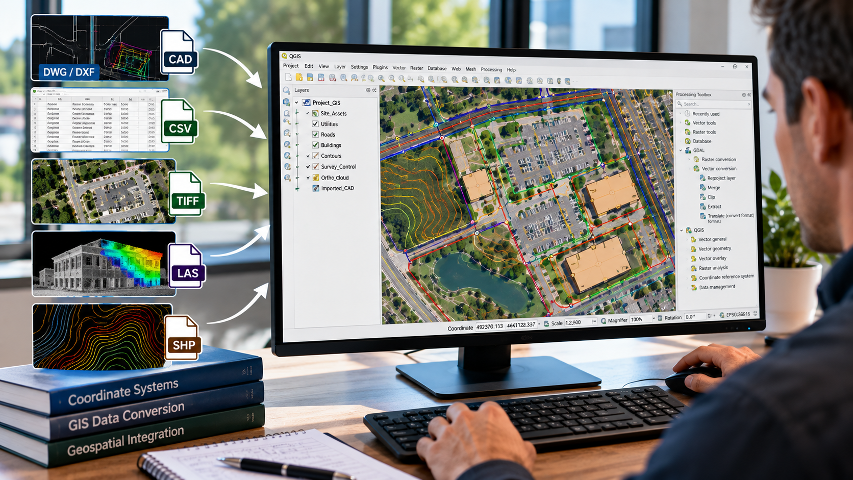
GIS Data Conversion & Integration
October 8, 2026
NG NET PLLC converts and integrates geospatial data from CAD drawings, survey datasets, aerial imagery, and existing GIS databases into organized, compatible GIS formats. We help clients combine information from multiple sources, establish consistent coordinate systems, and prepare reliable spatial datasets for mapping, analysis, and project workflows.

GIS Field Data Collection & Validation
October 8, 2026
Reliable GIS information begins with accurate field data. NG NET PLLC provides geospatial field data collection, feature identification, attribute verification, and spatial data validation using GNSS and surveying technologies. We help clients develop and maintain GIS datasets that reflect actual field conditions and support informed project decisions.
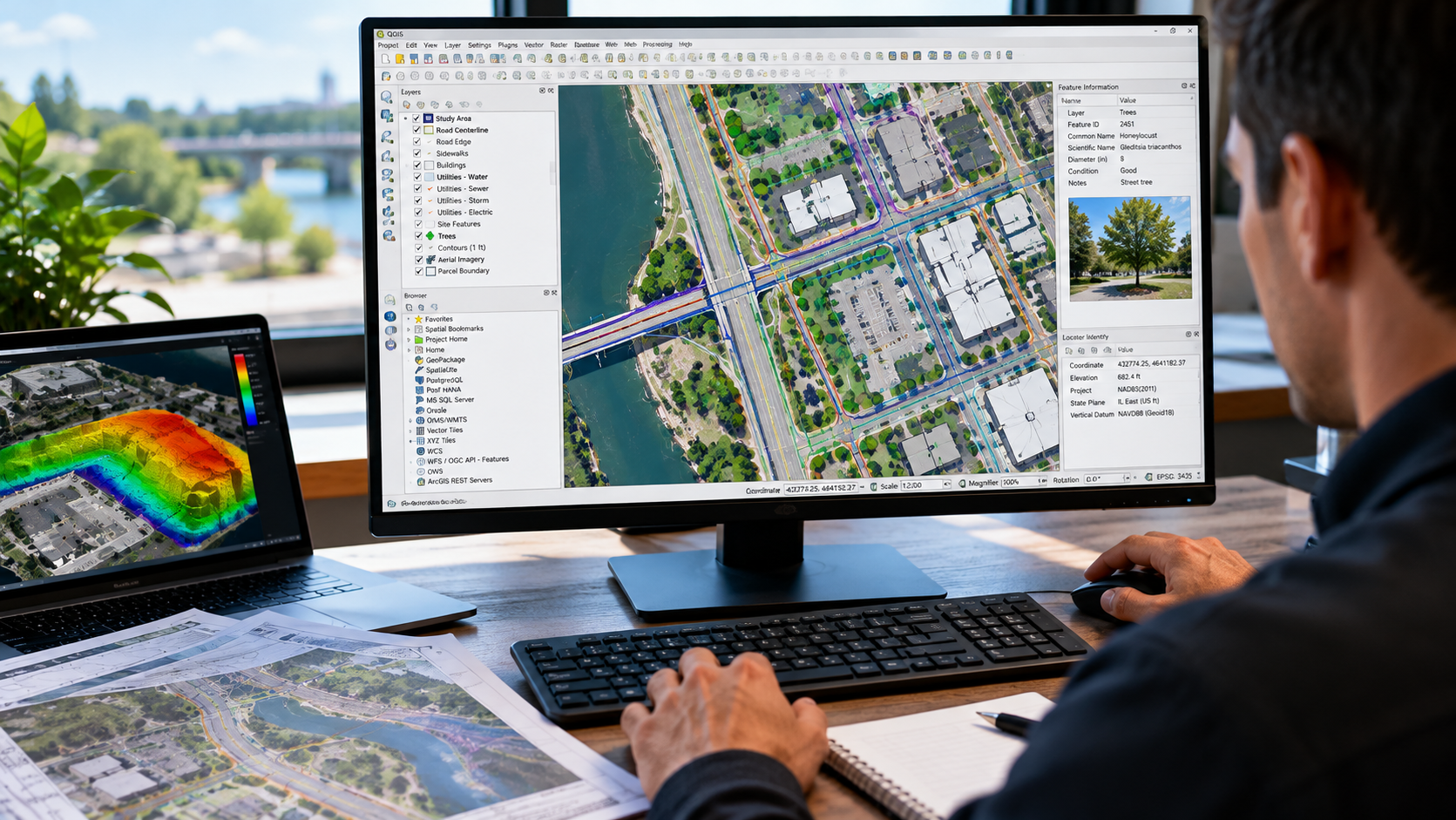
GIS Mapping & Data Visualization
October 8, 2026
Turn geospatial data into clear, useful maps. NG NET PLLC creates professional GIS maps and visualizations using client-provided datasets, survey information, aerial imagery, CAD drawings, and public geospatial resources. We organize spatial information into meaningful layers and mapping products to support planning, analysis, documentation, and communication.