
GIS Field Data Collection & Validation
Reliable Geographic Information Starts in the Field
Accurate and dependable GIS information begins with properly collected and verified field data. NG Net PLLC provides geospatial field data collection and validation services for infrastructure, utilities, construction, transportation, environmental, and property-related applications.
Combining GNSS positioning, professional surveying experience, and GIS technology, we collect geographic features and their associated attributes, verify existing GIS information against actual field conditions, and prepare structured datasets for mapping, analysis, and asset management.
Our Services Include
GIS Feature Collection
Collection of geographic features represented as points, lines, and polygons, together with relevant attribute information. Examples include utility structures, signs, trees, drainage features, pavement elements, buildings, and other client-defined assets.
Survey Control & Georeferencing
Establishment or verification of horizontal and vertical survey control when required to support the project’s positional accuracy. Collected information can be referenced to specified coordinate systems and integrated with existing GIS, CAD, and survey datasets.
Existing GIS Data Validation
Field verification of client-provided GIS information, including feature locations, attributes, asset conditions, and discrepancies between mapped information and actual field conditions.
GIS Data Preparation
Organization of collected features, attribute information, coordinate references, and supporting field documentation into GIS-compatible datasets.
Typical Applications
- Utility and infrastructure inventories
- Transportation and roadway asset mapping
- Site and facility inventories
- Tree and vegetation inventories
- Stormwater and drainage features
- Construction and infrastructure documentation
- Field verification of existing GIS databases
Deliverables
Depending on project requirements, deliverables may include GIS feature datasets, attribute tables, field photographs, validation reports, and georeferenced mapping information in formats such as GeoPackage, SHP, GeoJSON, KML/KMZ, or CSV.
Need new GIS data or verification of existing geographic information?
NG Net PLLC can help collect, verify, and organize the field information required for your GIS application.
Share:
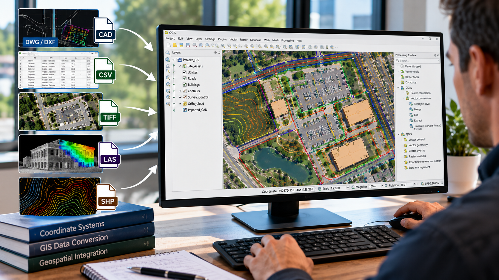
GIS Data Conversion & Integration
October 8, 2026
NG NET PLLC converts and integrates geospatial data from CAD drawings, survey datasets, aerial imagery, and existing GIS databases into organized, compatible GIS formats. We help clients combine information from multiple sources, establish consistent coordinate systems, and prepare reliable spatial datasets for mapping, analysis, and project workflows.
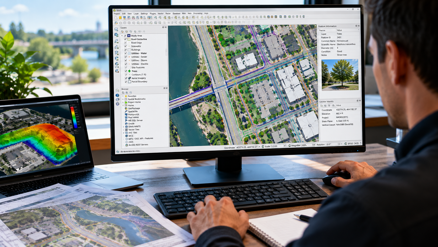
GIS Mapping & Data Visualization
October 8, 2026
Turn geospatial data into clear, useful maps. NG NET PLLC creates professional GIS maps and visualizations using client-provided datasets, survey information, aerial imagery, CAD drawings, and public geospatial resources. We organize spatial information into meaningful layers and mapping products to support planning, analysis, documentation, and communication.
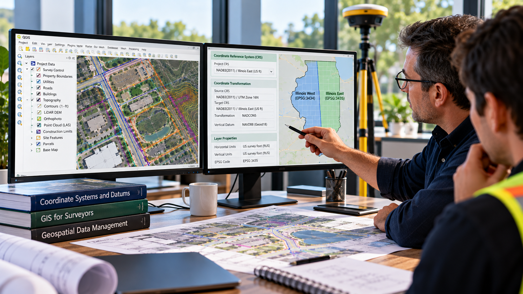
GIS Consulting & Technical Support
October 8, 2026
NG NET PLLC provides GIS consulting and technical support to help clients plan, organize, evaluate, and improve their geospatial workflows. Services include coordinate system guidance, data organization, GIS software support, quality control, and integration of survey, CAD, and mapping information into practical project applications.