
GIS & Geospatial Services
GIS Data Conversion & Integration
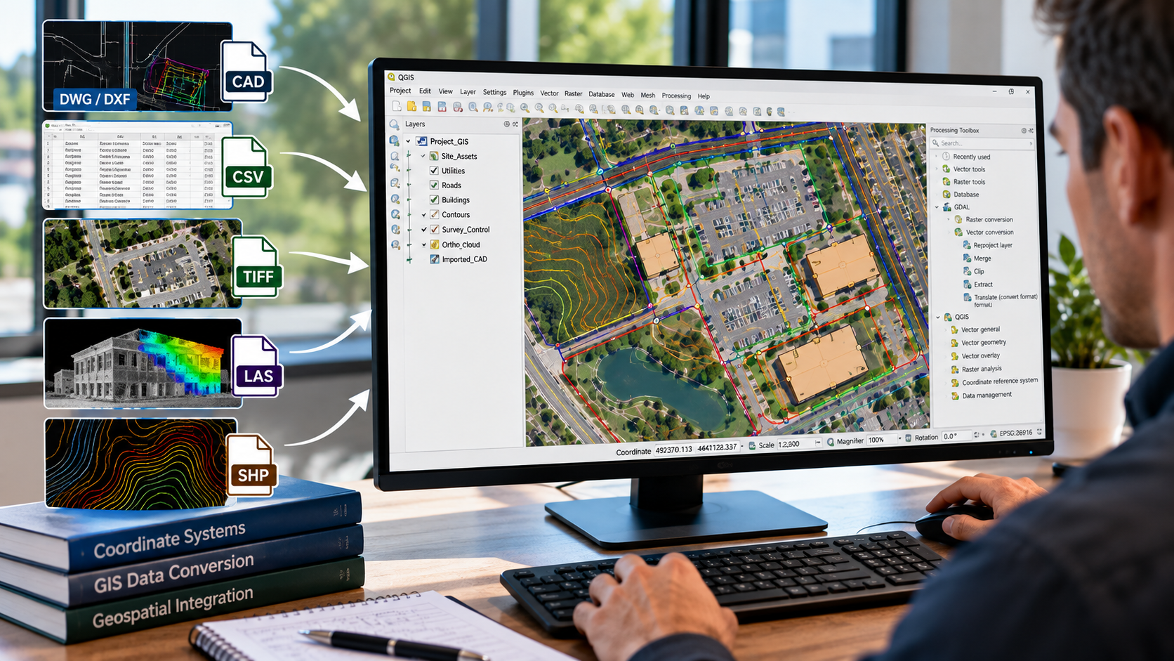
NG NET PLLC converts and integrates geospatial data from CAD drawings, survey datasets, aerial imagery, and existing GIS databases into organized, compatible GIS formats. We help clients combine information from multiple sources, establish consistent coordinate systems, and prepare reliable spatial datasets for mapping, analysis, and project workflows.
GIS Field Data Collection & Validation

Reliable GIS information begins with accurate field data. NG NET PLLC provides geospatial field data collection, feature identification, attribute verification, and spatial data validation using GNSS and surveying technologies. We help clients develop and maintain GIS datasets that reflect actual field conditions and support informed project decisions.
GIS Mapping & Data Visualization
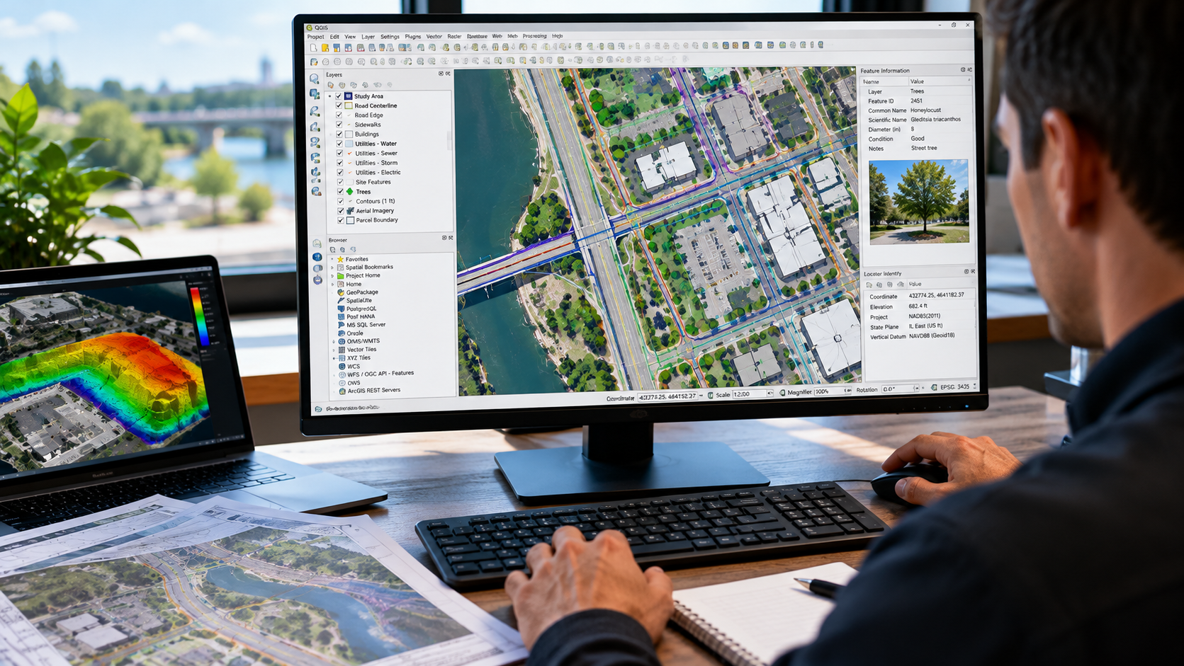
Turn geospatial data into clear, useful maps. NG NET PLLC creates professional GIS maps and visualizations using client-provided datasets, survey information, aerial imagery, CAD drawings, and public geospatial resources. We organize spatial information into meaningful layers and mapping products to support planning, analysis, documentation, and communication.
GIS Consulting & Technical Support
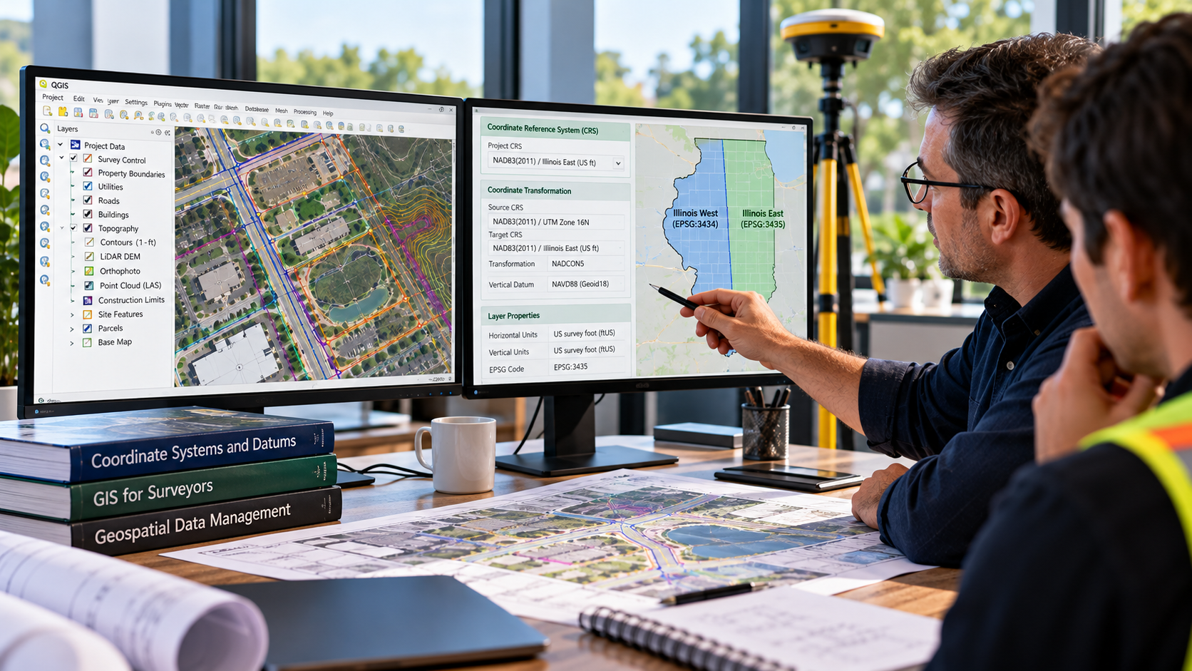
NG NET PLLC provides GIS consulting and technical support to help clients plan, organize, evaluate, and improve their geospatial workflows. Services include coordinate system guidance, data organization, GIS software support, quality control, and integration of survey, CAD, and mapping information into practical project applications.